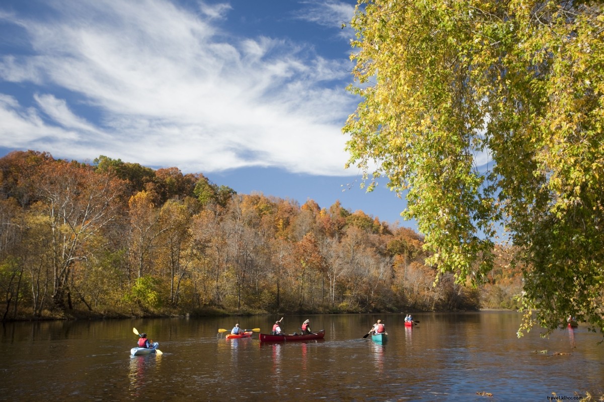
Ultimate Guide to Virginia's Water Trails and Blueways: 26 Top Paddling Routes
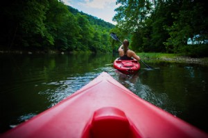
Virginia offers an incredible diversity of paddling destinations, from the Atlantic Ocean's shores and coves to the Piedmont's rolling rivers and the Appalachian highlands' mountain streams. These canoeing and kayaking spots are thoughtfully cataloged into designated water trails and blueways, guiding paddlers to the state's premier waterways.
Explore these eight premier Virginia water trails and blueways below. Each features detailed overviews, access points, paddling conditions, and 26 recommended routes to inspire your next adventure and get you on Virginia's paddling paradise.
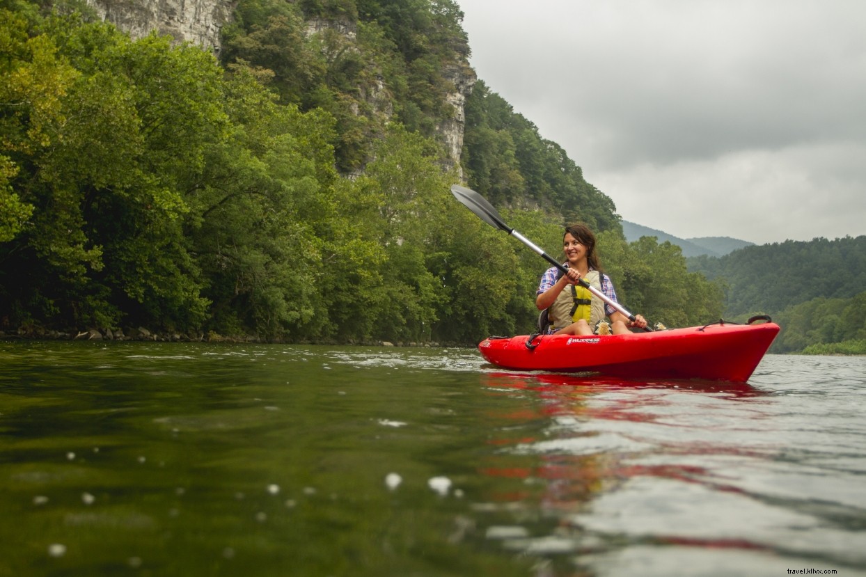
UPPER JAMES RIVER WATER TRAIL
Water Trail Overview: Spanning the uppermost 64 miles of the James River and 10 miles of the Maury River, this blueway winds through the Appalachians from Clifton Forge to Alpine. While in mountainous terrain, most rapids are beginner-friendly Class I-II, with a few Class III sections. The Maury River offers more challenging paddling.
Outfitters: Available in Buchanan.
Recommended Paddles:
James River, Springwood to Buchanan – A scenic 5-mile trip with light Class I rapids, ideal for novices, floaters, or anglers.
James River, Buchanan to Alpine – Enjoy 10 miles of mountain views, Class I-II shoals, and rapids. Shorten to Arcadia if preferred; outfitters provide shuttles and rentals.
NEW RIVER WATER TRAIL
Water Trail Overview: This 37-mile trail follows the New River through Giles County in western Virginia. Known for its grand scale—big river, big mountains, big fish—it carves a stunning valley through the Appalachians. Segments suit all skill levels.
Outfitters: Tangent Outfitters, New River Outdoor Company.
Recommended Paddles:
New River, Eggleston Springs to Pembroke – A beginner-friendly 6-mile stretch with one Class II rapid, riffles, Class I's, and pools. Great for smallmouth bass or lazy summer floats.
New River, Ripplemead to Bluff City – An 8.5-mile adventure past cliffs and rapids like Class II Horseshoe Falls and Clendenin Shoals. Slower sections highlight montane scenery.
New River, McCoy to Eggleston Springs – Start at Big Falls (borderline Class III, portage available) for 4 miles of Class I-II rapids amid highlands.
SOUTHERN VIRGINIA WILD BLUEWAY
Water Trail Overview: Encompassing three rivers (middle Roanoke, Dan, and Banister) and two vast lakes (Buggs Island Lake/Kerr and upper Lake Gaston), this network spans over 100 miles. Mostly Class I with occasional Class II rapids, much of it designated as Virginia Scenic Rivers. The lakes offer expansive Piedmont paddling.
Outfitters: Tri Rivers Outfitter, River Traders, Clarksville Water Sports.
Recommended Paddles:
Banister River, Cowford Bridge to Wolf Trap – Relaxing 6-mile paddle through wildlife areas with Class I shoals. Spot historic wing dams and sluices.
Dan River, South Boston to Staunton River State Park – 13-mile journey (Class I shoals) merging with Banister, navigating islands, into Buggs Island Lake.
Staunton River, Long Island to Brookneal – Local favorite: 11 miles of Class I rapids, islands, and scenery.
Buggs Island Lake (Lake Kerr) – From Staunton River State Park, explore the Staunton arm, circling Jeffress and Harris Islands amid wild shorelines.
Lake Gaston – From Steel Bridge Landing, paddle to Whiteoak Flats for waterfowl viewing; side trip up Flat Creek to Bear Swamp.
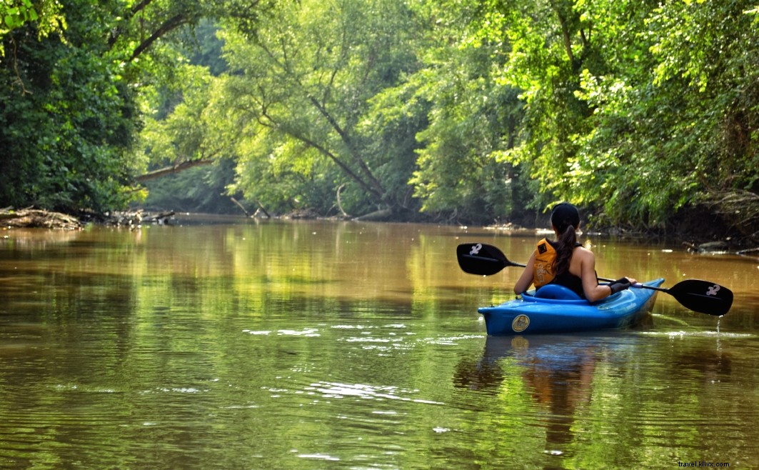
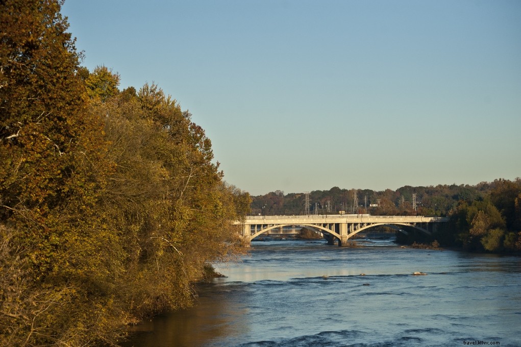
MIDDLE JAMES RIVER BLUEWAY
Water Trail Overview: From Lynchburg to Richmond through Virginia's heart, this Piedmont blueway on "America’s Founding River" includes detailed maps from the James River Association. Tributaries like Chickahominy and Appomattox add variety.
Outfitters: James River Runners at Hatton’s Ferry.
Recommended Paddles:
James River, Lynchburg to Joshua Falls – 10-mile run from 7th Street ramp past Percivals Island, riffles, and shoals to above Class II Joshua Falls.
James River, Howardsville to Scottsville – 9.8 miles of shallow riffles; stay right at Goosby Island, pass Rock Island and Hatton’s Ferry.
Chickahominy River, Chickahominy Park upriver – Upstream from the park: explore Morris Creek, tidal sections, and Wrights Island; backtrack.
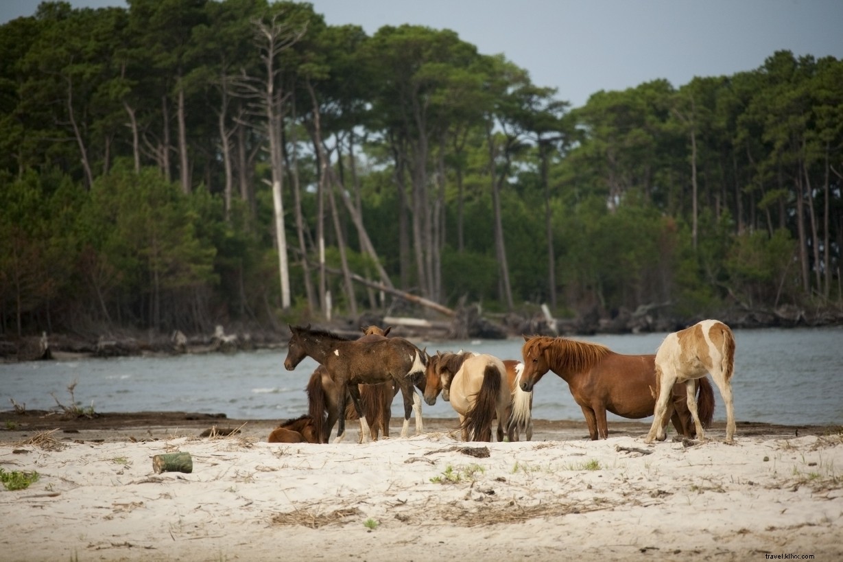
VIRGINIA SEASIDE WATER TRAIL
Water Trail Overview: A 100-mile coastal path on Virginia's Eastern Shore from the southern tip to Chincoteague. Features marshes, refuges, and beaches with routes for all levels. Guided tours recommended for saltwater newcomers.
Outfitters: SouthEast Expeditions, Chincoteague Kayak Tours, Assateague Explorer, and more.
Recommended Paddles:
Assateague Island from Chincoteague – Paddle to the National Seashore for wild ponies; beach walk and return.
Willis Wharf Harbor – Up Parting Creek for birding or Great Machipongo River (tide-aware); backtrack.
Gargatha Landing – Upstream on Gargatha Creek or to Kegotank Bay/Northam Narrows/Atlantic.
ROANOKE RIVER BLUEWAY
Water Trail Overview: 45 miles from west of Salem through Roanoke to Smith Mountain Lake backwaters. Class I shoals with some Class II; greenways aid self-shuttles.
Outfitters: Roanoke Mountain Adventures.
Recommended Paddles:
Roanoke River, Rotary Park (Salem) to Roanoke Mountain Adventures – Easy 5-mile urban-to-greenway paddle with Class I riffles.
Roanoke River, Explore Park to Hardy Bridge – 7-mile rural float to Smith Mountain Lake.
CAPTAIN JOHN SMITH WATER TRAILS
Water Trail Overview: Part of the Chesapeake National Historical Trail, featuring Virginia rivers like Rappahannock, Pamunkey, Mattaponi, and Lynnhaven Inlet.
Outfitters: Varies by waterway.
Recommended Paddles:
Powhatan Creek Blueway near Jamestown – 3-4 miles to James River or 8-mile Jamestown Island loop.
Mattaponi River through Zoar State Forest – 5-mile freshwater-to-tidal paddle to Aylett.
Bull Run, Occoquan Water Trail – 8.5 miles Class I to Lake Occoquan.
Rappahannock River Water Trail – 6-mile Class I from Hole in the Wall to Motts Landing (via Virginia Outdoor Center); historic features.
MATHEWS BLUEWAYS
Water Trail Overview: Five routes totaling 90+ miles in Mathews County (200+ miles of shoreline on 87 sq mi). Overlooks Chesapeake Bay.
Outfitters: Chesapeake Bay Paddling Company near East River.
Recommended Paddles:
Roses Creek Landing to Chapel Creek – 8-mile Piankatank River exploration.
Bethel Beach & Winter Harbor – 22-mile trail segment: Atlantic shores to estuary.
New Point Comfort Trail – 8-mile Mobjack Bay paddle to lighthouse.
East River Trail – 6-7 miles upriver or 7-mile downstream to Mobjack Bay via Williams Wharf.