10 Hidden Gem Hikes in Virginia: Lesser-Known Trails with Stunning Payoffs
Virginia boasts hundreds of trails leading to breathtaking views, waterfalls, and rewarding vistas that make every step worthwhile. While popular paths offer enchantment at the right time, crowds on sunny days can diminish the sense of discovery. We've curated 10 lesser-known hikes that deliver thrills, solitude, and unforgettable payoffs across the state. Lace up your boots and explore these hidden gems today.
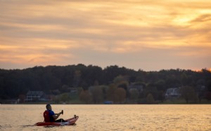
Washington Ditch Trail, Great Dismal Swamp—Suffolk
Total Distance: 9 miles (4.5 miles one way)
Difficulty: Easy
Swamps teem with life, offering prime habitats for diverse wildlife. Along this trail in Suffolk's Great Dismal Swamp National Wildlife Refuge, spot over 200 bird species, river otters, and possibly black bears from afar. Access via White Marsh Road to the Washington Ditch entrance; the trailhead is near the parking lot. It culminates at Lake Drummond.
Payoff: Abundant wildlife sightings
Bonus: Kayak tours on Lake Drummond's reflective, dark waters—one of Virginia's two natural freshwater lakes.
Cold Mountain Loop—Near Lexington
Total Distance: 5.8 miles
Difficulty: Moderate
East of Lexington, this loop complements the nearby Mount Pleasant trail on the Appalachian Trail. Experienced hikers can link them for 11 miles; a shortcut offers a quick 1-mile round trip to the summit. Enjoy 360-degree meadow views from the open clearing. Directions: US Route 60 to Coffeytown Road (Route 634), right on Wiggins Spring Road, past Appalachian Trail parking; trailhead 0.2 miles further.
Payoff: Panoramic mountain and valley vistas from a rare central Virginia meadow summit
Bonus: Refresh with a cold beer at Great Valley Farm Brewing in Natural Bridge.
False Cape Landing Trail, False Cape State Park—Virginia Beach
Total Distance: 1.5 miles (0.7 miles to dunes)
Difficulty: Easy
Escape Virginia Beach crowds at this secluded spot, 5 miles south of Sandbridge. Accessible only by foot, bike, boat, or seasonal tram, it ensures privacy. Among 7.5 miles of trails, this one leads to pristine dunes and beach.
Payoff: Secluded sand dunes and beach solitude
Bonus: Wildlife like wild ponies and feral pigs in adjacent Back Bay Wildlife Refuge.
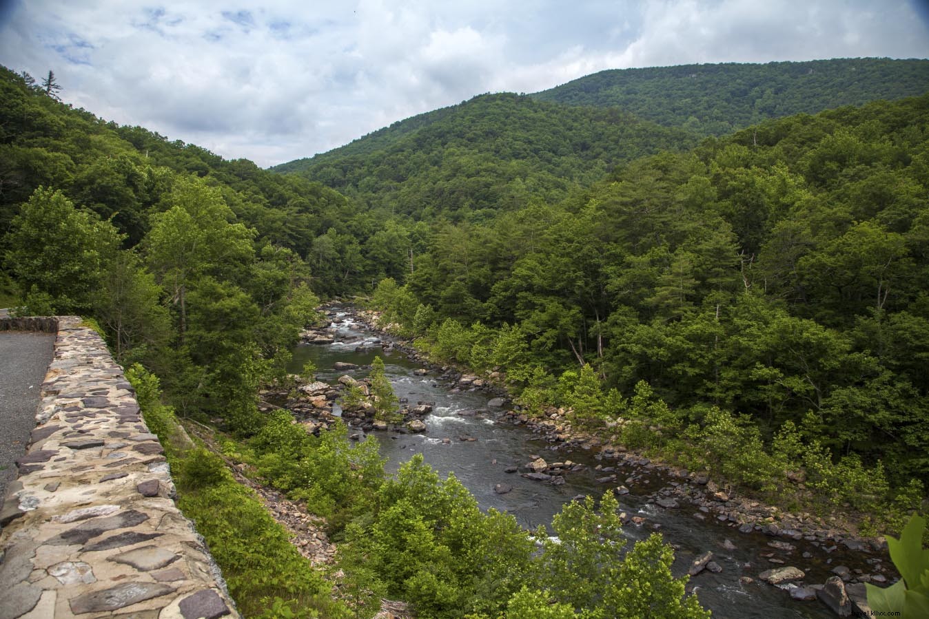
Guest River Gorge Trail—Coeburn

Total Distance: 5.8 miles
Difficulty: Easy
This rail-trail follows sandstone cliffs dropping 400 feet to crystal-clear waters in a gorge carved through Stone Mountain. Crushed stone surface and gentle grades make it accessible; benches offer gorge views. Popular with cyclists, it's ideal for hikers. From Coeburn, Highway 72 South 2.2 miles; parking left past Flatwoods Group Picnic Area.
Payoff: Dramatic gorge vistas
Bonus: Swede Tunnel and three wooden bridges.
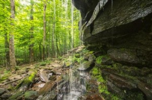
Falls Hollow Trail to Elliot Knob—Augusta
Total Distance: 8.5 miles
Difficulty: Challenging
Ascend 2,425 feet to one of Virginia's highest peaks (often 6+ hours). Campsites near the summit fire tower allow overnight stays. Clearings, waterfalls, and wildlife en route. VA 42 south of Buffalo Gap to pull-in lot and gate (stop sign #291).
Payoff: Summit fire tower views
Bonus: Two waterfalls on Falls Hollow.
Jump Rock at Goshen Pass—Goshen
Total Distance: 8.2 miles
Difficulty: Difficult
Near Lexington, this trail fades midway, demanding GPS and experience. Jump Rock requires a permit (Virginia Wildlife Management Area). Panoramic Blue Ridge and Shenandoah views. Parking: unmarked gravel road 1.6 miles upriver from Virginia Wayside on Route 39 West. Alternate: main loop to swinging bridge.
Payoff: Secluded mountain and valley panoramas
Bonus: Swinging bridge over Maury River.
Savage Neck Dunes Natural Area Preserve—Eastville

Total Distance: 1.5 miles
Difficulty: Easy
This 300-acre preserve on Virginia's Eastern Shore features the state's tallest dunes and Chesapeake Bay shoreline. Main trail passes fields, woods, and pond to dunes. Route 634 from Business 13; small parking lot 4 miles on right.
Payoff: Private dunes and beach
Bonus: Migratory songbirds; rare Northeastern Beach Tiger Beetle.
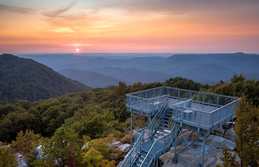
Birch Knob Fire Tower—Dickenson
Total Distance: 2 miles
Difficulty: Moderate to Difficult
At 3,144 feet in Jefferson National Forest, the tower overlooks five states (Ohio on clear days). Hike downhill to Jenny Falls, then climb 183 steps. Directions: Dickenson Highway (83) to Clintwood, Highway 631 3 miles, right on 611 2.3 miles, left on 616 to parking.
Payoff: Multi-state vistas
Bonus: Waterfall via trail left of tower.
Keys Gap/Buzzard Rocks, Appalachian Trail—Loudoun
Total Distance: 7.7 miles
Difficulty: Moderate
A quieter Appalachian Trail section between Raven Rocks and Loudoun Heights. David Lesser Shelter 3 miles in for overnights or weather refuge.
Payoff: Massanutten Mountains and Shenandoah River views (fall foliage)
Bonus: Harpers Ferry 6 miles north.
House Mountain Trails—Lexington
Total Distance: 8.2 miles
Difficulty: Extreme
Combine Little and Big House Mountains for west and Shenandoah Valley views. Steep, rocky; camping available.
Payoff: Rocky summit ledges with scenic overlooks
Bonus: Friendly resident goat.
Reconnect with nature minus the crowds on these Virginia treasures. Each delivers peace and a perfect payoff.