Top 15 Winter Hikes in Virginia: Stunning Trails with Fewer Crowds
Winter hiking in Virginia delivers crisp air, fewer crowds, and stunning frozen landscapes perfect for fitness goals or scenic escapes. These trails shine year-round, especially in the off-season. Explore Virginia's diverse beauty on foot, from waterfalls to mountain summits.
Crabtree Falls
Closest Cities: Waynesboro & Lexington
Map | More Info
One of the tallest waterfall cascades east of the Mississippi, Crabtree Falls offers serene winter views without summer crowds. For added challenge, extend to nearby Spy Rock or Priest Mountain.
Cascades National Recreation Trail
Closest City: Blacksburg
Map | More Info
This accessible 4-mile trail suits beginners and rewards with a 66-foot waterfall that may freeze in peak winter, creating a magical spectacle.
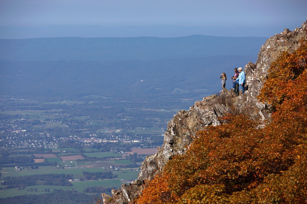
Bearfence Trail
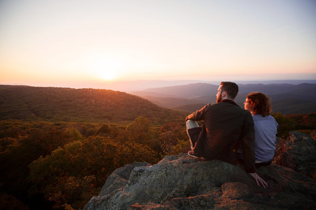
Closest City: Stanardsville
Map | More Info
Off Skyline Drive, this 1-mile trail culminates in 360-degree panoramic views. Opt for the Bearfence Viewpoint route to skip the rock scramble. Verify Blue Ridge Parkway and Skyline Drive status for winter closures.
Big Schloss
Closest Cities: Luray & Strasburg
Map | More Info
Straddling the Virginia-West Virginia line in George Washington National Forest, this 4.4-mile trail (sister to Tibbet Knob) delivers sweeping valley vistas from the summit.
Peaks of Otter
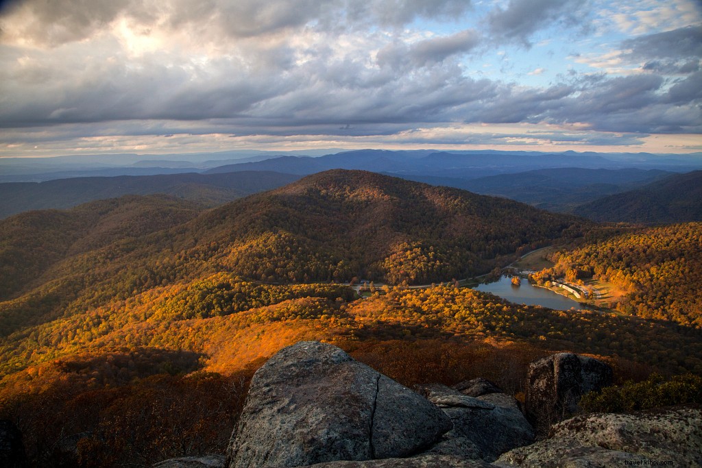
Closest Cities: Roanoke & Lynchburg
Map | More Info
The Peaks of Otter system features six trails across Flat Top, Sharp Top, and Harkening Hill. Tackle Sharp Top or Flat Top for rewarding 360-degree summit panoramas.
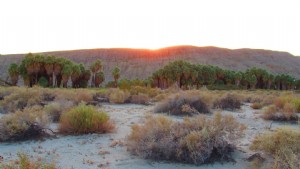
Beach and Bay Trail Loop
Closest Cities: Woodbridge & Arlington
Map | More Info
In Mason Neck State Park, this easy 2.3-mile loop traces the beach, highlighting coastal scenery even in winter—for all skill levels.
Dark Hollow Falls
 Photo Credit: Ryan Thompson IG account: @dslryan
Closest City: Luray
Map | More Info
In Shenandoah National Park, this popular trail to a 70-foot waterfall is crowd-free in winter. Extreme cold can freeze the falls into an icy wonder.
Brown Pelican Trail
Closest Cities: Virginia Beach & Cape Charles
Map | More Info
In Kiptopeke State Park on Virginia's Eastern Shore, enjoy Chesapeake Bay views and historic concrete ships sunk over 65 years ago to shield the coast.
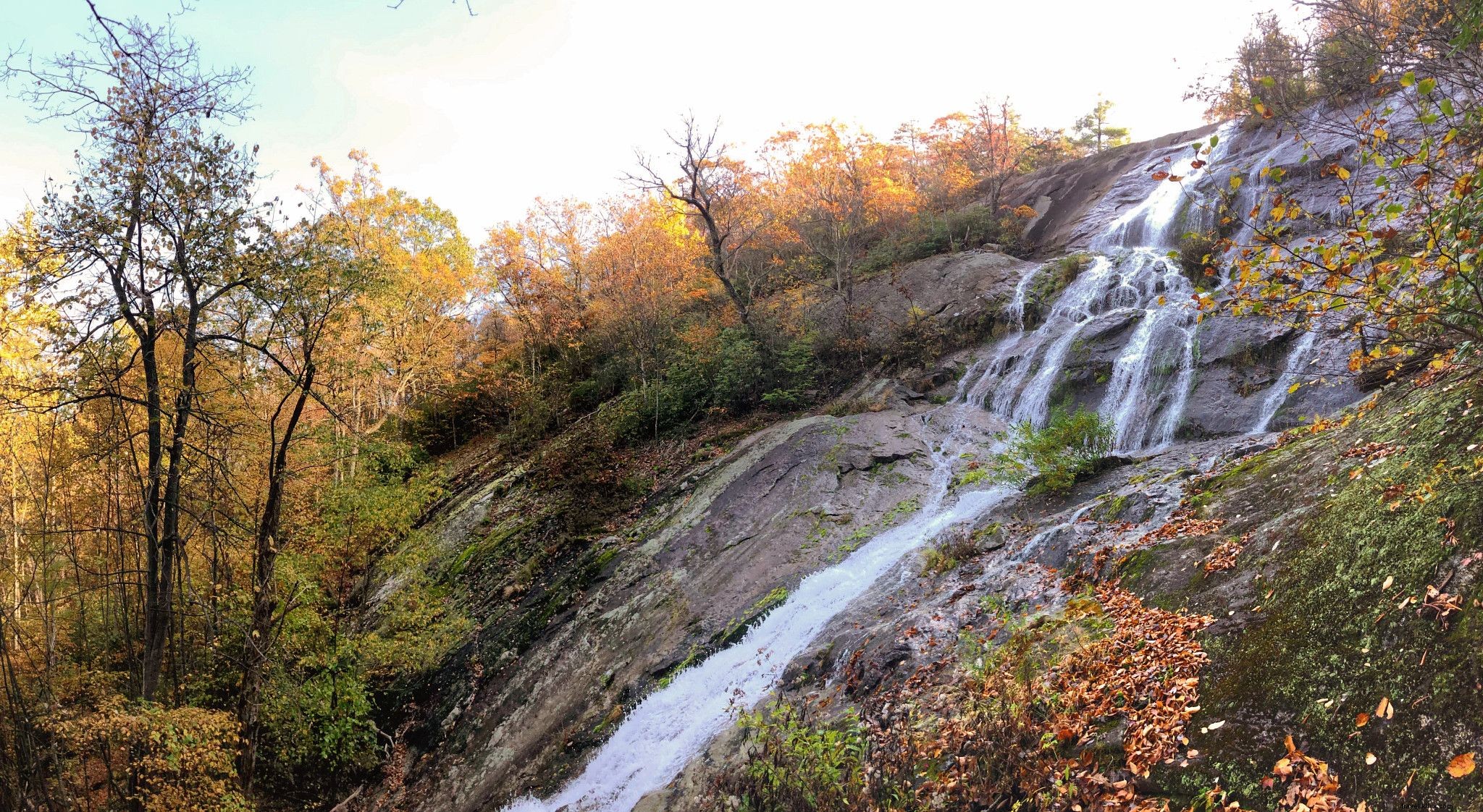
Roaring Run Hoop Hole Trail
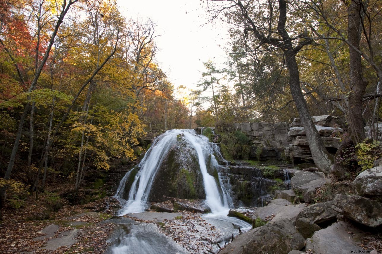
Photo Credit: Bill Crabtree, Jr.
Closest City: Roanoke
Map | More Info
This 1.2-mile Jefferson National Forest trail near Eagle Rock features a waterfall and suits all levels. Skip the advanced upper loop.
Tobacco Heritage Trail
Closest Cities: South Hill & Lawrenceville
Map| More Info
Ideal for easy walks, this flat trail spans 17+ miles with segments showcasing landscapes and a scenic 300-foot bridge over the Meherrin River.
Stony Man Trail
Closest City: Luray
Map| More Info
This beginner-friendly 1.4-mile trail reveals Shenandoah Valley, Luray, Massanutten, and Allegheny Mountain views. Challenge yourself with the 3.4-mile Little Stony Man Loop.
Lover’s Leap Trail
Closest City: Bristol
Map| More Info
A moderate 0.4-mile hike in Natural Tunnel State Park. Follow with Tunnel Hill Trail for potential train-spotting in the historic tunnel.
House Mountain Hike
 Photo Credit: John Henley
Closest City: Lexington
Map| More Info
Two trails: Big House (1.7 miles, moderate, tougher in bad weather) and Little House (2.6 miles, moderate), both with summit rewards.
Turkey Neck Trail
Closest City: Fredericksburg
Map| More Info
This 2.5-mile loop in Westmoreland State Park along the Potomac ends at cliffs and beach with prime river views—open year-round.
Belle Isle Trails
Closest City: Richmond
Map| More Info
Urban-friendly paths circle the 54-acre island beside the James River, accessible via pedestrian bridge under Lee Bridge. Post-hike, visit nearby breweries.
Mount Rogers, Photo credit: Scott K. Brown
For advanced hikers seeking longer winter challenges:
- Overall Run Falls Hike—5.1 miles
- Tinker Cliffs—7.3 miles
- Mount Rogers Trail—10.8 miles