10 Scenic Hikes Paired with Virginia's Top Wineries
Experience the ultimate pairing: invigorating hikes through Virginia's stunning landscapes followed by tastings at renowned wineries. Beyond the vines and rolling hills, Virginia's outdoors amplify the sensory joy of wine country. Explore vineyard grounds, cobblestone paths, and countryside vistas, then quench your thirst with expert-led tastings.
Enhance your winery visit with a nearby hike to waterfalls, overlooks, or historic sites. These 10 curated pairings showcase Virginia's natural beauty and winemaking heritage. Cheers to adventure!
Virginia Creeper Trail
Winery: Abingdon Vineyard & Winery
GPS Hike Location: 36.65158, -81.88726
GPS Winery Location: 36.65787, -81.88827
Nearest Town: Abingdon
About the Pairing: Nestled on a 50-acre estate along the South Fork Holston River, Abingdon Vineyard & Winery offers scenic tastings. Just across the river, access the renowned 34-mile Virginia Creeper Trail—a former railroad bed ideal for hiking, biking, or equestrian use. Start at the South Holston Bridge in Alvarado near the winery for pastoral views, or begin in Damascus for dramatic montane scenery along Whitetop Laurel Creek. Rent bikes in Damascus for a gravel-track adventure.
Bottom Creek Gorge
Winery: AmRhein’s Wine Cellars
GPS Hike Location: 37.13183, -80.18059
GPS Winery Location: 37.11996, -80.152
Nearest Town: Bent Mountain
About the Pairing: This 40-acre estate grows 20 grape varieties, producing 15 styles of red and white wines with a family legacy spanning decades. After touring, hike the 4.6-mile loop in Bottom Creek Gorge Preserve. Traverse old settler roads and footpaths to a ridgetop with historic remnants like chimneys and fences. Descend to 200-foot Bent Mountain Falls and explore The Kettles' pools and cascades along Bottom Creek.
Danville Riverwalk
Winery: Two Witches Winery and Brewery
GPS Hike Location: 36.59086, -79.38858
GPS Winery Location: 36.58564, -79.42101
Nearest Town: Danville
About the Pairing: Virginia's only winery-brewery hybrid grows grapes onsite and on their other farm, with evening tastings leaving afternoons free for hiking. The 9-mile paved Danville Riverwalk follows the Dan River's north bank, weaving through parks like Dan Daniel and Anglers, blending history from Civil War era to modern nature integration. For a wilder option, drive an hour west to Fairy Stone State Park's Stuarts Knob trails amid wooded hills and historic mining sites.
Dutch Gap Loop
Winery: Upper Shirley Vineyards
GPS Hike Location: 37.37537, -77.36122
GPS Winery Location: 37.34592, -77.2573
Nearest Town: Hopewell
About the Pairing: Native Virginians craft wines on a historic farm with 16 acres of vines (expanding), open Wednesday-Monday with onsite dining. Nearby, hike the 4.7-mile Dutch Gap Loop at Henricus Historical Park. Explore preserved wetlands around the 1600s Dutch Gap moat and James River oxbow lake, starting from the visitor center.
Appalachian Trail on Brown Mountain Creek
Winery: Ankida Ridge Vineyards
GPS Hike Location: 37.72362, -79.25079
GPS Winery Location: 37.7056, -79.17359
Nearest Town: Amherst
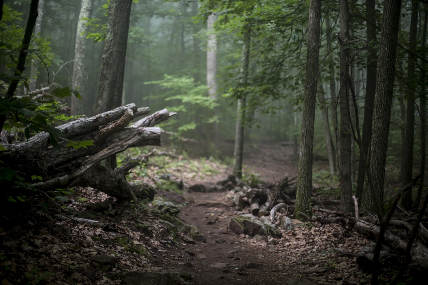
About the Pairing: At 1,800 feet on the Blue Ridge's east slope, this organic-focused winery (open Saturdays) uses sheep for sustainable vineyard management, earning its 'Little Burgundy' nickname. A short drive leads to a 4.6-mile out-and-back on the Appalachian Trail from Long Mountain Wayside. Discover a lush valley along Brown Mountain Creek, with remnants of former sharecropper homes like stone fences and chimneys.
Split Rock from Harpers Ferry
Winery: 868 Estate Vineyards
GPS Hike Location: 39.32183, -77.74262
GPS Winery Location: 39.23113, -77.73937
Nearest Town: Purcellville
About the Pairing: Blending old-world practices with modern tech on a historic farm, enjoy tastings, music, and farm-to-table dining embodying 'wine, food, art, nature.' Hike 6 miles round-trip on the Appalachian Trail from Harpers Ferry, WV (best parking). Cross the Shenandoah, climb to the VA-WV line, and reach Split Rock for panoramic Potomac River views.
Sky Meadows State Park
Winery: Arterra Wines
GPS Hike Location: 38.99194, -77.96833
GPS Winery Location: 38.96405, -77.97141
Nearest Town: Delaplane
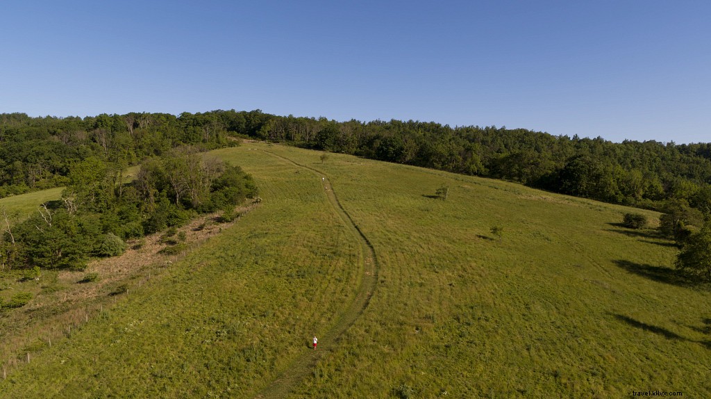
About the Pairing: Husband-wife team crafts fruit-forward wines expressing Virginia's terroir, with art-infused tastings Friday-Sunday (weekdays by appointment). Nearby Sky Meadows State Park offers a 5-mile loop from the ranger station: Piedmont Overlook Trail for vistas, Ambassador Whitehouse Trail, Appalachian Trail south, and North Ridge back.
Smith Mountain Lake State Park
Winery: Altillo Vineyards and Winery
GPS Hike Location: 37.08268, -79.60733
GPS Winery Location: 37.06473, -79.24421
Nearest Town: Altavista
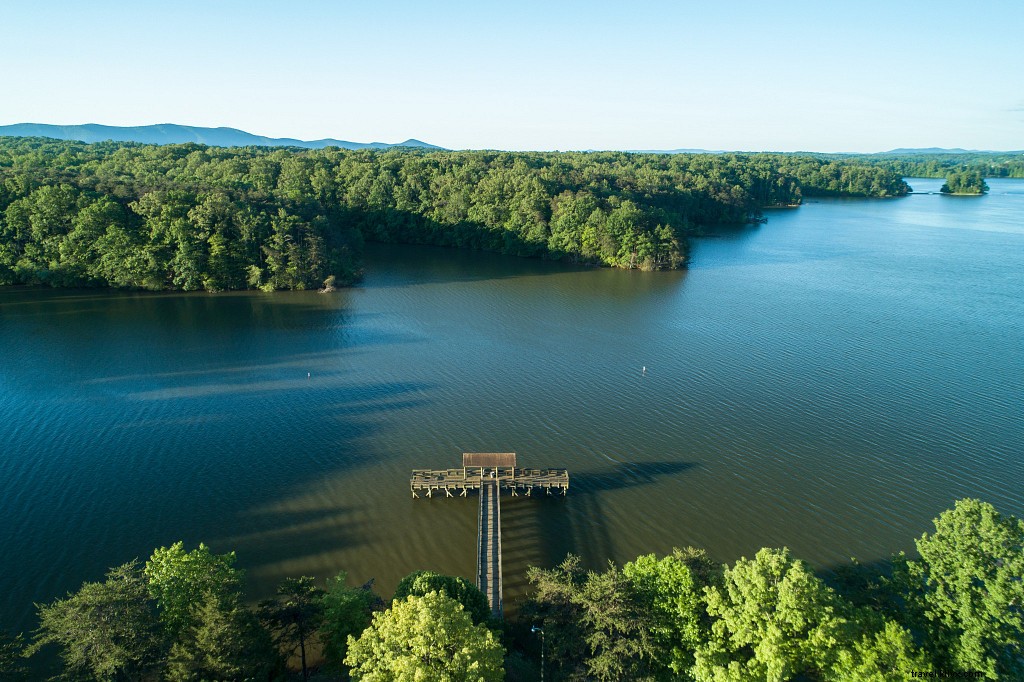
About the Pairing: Family-run with limited-production wines, relax at the bar, deck, or fireplace (open Fri-Sat noon-6; tasting fee applies to first bottle). Westward, Smith Mountain Lake State Park trails hug the shoreline. Park at Interpretive Trail Road for a 4-mile loop to Turtle Island (bridged), benches with lake views, and historic tobacco barns.
Savage Neck Dunes Natural Area Preserve
Winery: Chatham Vineyards on Church Creek
GPS Hike Location: 37.32751, -76.00413
GPS Winery Location: 37.4566, -75.92689
Nearest Town: Eastville

About the Pairing: Second-generation winemakers on a historic farm cultivate 20 acres of high-density European vines; handpicked grapes ensure premium quality (open daily 10am-5pm). South lies Savage Neck Dunes Preserve, protecting 50-foot dunes and Chesapeake Bay shoreline. Follow the ¾-mile trail through dunes to a mile of wild beach for serene walks.