Top Blue Ridge Parkway Hikes in Virginia: Trails for Every Adventure Level
The Blue Ridge Parkway is renowned for its scenic drives, connecting Shenandoah National Park in Virginia to Great Smoky Mountains National Park in North Carolina and Tennessee. Beyond the road, it offers an abundance of hiking trails winding through stunning mountain landscapes, accessible right from overlooks.
Park your vehicle and discover trails for all abilities along Virginia's section of the Parkway—from quick leg-stretchers with rewarding views and easy day hikes to longer treks revealing its wilder side.
Hiking remains a timeless favorite among Parkway visitors. Seek wildflowers and wildlife, secluded overlooks, cascading waterfalls, Appalachian heritage, or remote wilderness—there's a trail tailored to your interests.
Explore these top hikes on Virginia's Blue Ridge Parkway, organized by length and progressing north to south. Each offers unique trailside adventures.
– Short and Easy Parkway Leg-Stretchers –
Mountain Farm Trail
Location: Milepost 5.9
Length: 0.5 miles
Start this easy, level trail at Humpback Rocks Visitor Center. Inside, view exhibits on mountain farms and local history, grab maps, water, and amenities; picnic areas available. The trail leads to the reconstructed William J. Carter Farm, replicating an 1890s farmstead with authentic log structures.
Wigwam Falls
Location: Milepost 34.4
Length: 0.4 miles
Follow the short, easy Yankee Horse Trail to Wigwam Falls, a 30-foot cascade on a small tributary. Learn about local logging history via a 200-foot reconstructed Irish Creek Railway track. The area was logged by the late 1930s. Legend says the trail's name comes from a Union soldier's horse that fell here; nearby Wigwam Mountain was an ancient Indian hunting ground.
James River Self-Guiding Trail

Location: Milepost 63.6
Length: 0.4 miles
Begin at James River Visitor Center. Cross a unique bridge under the Parkway and over the James River, then explore historic locks and canals with interpretive signs detailing past transportation. End at a riverside overlook; backtrack to the center.
Abbott Lake Loop
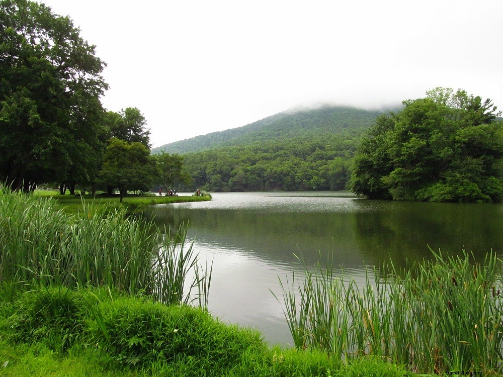
Location: Milepost 85.8
Length: 1.0 miles
This level loop starts at Peaks of Otter Lodge on the Lake Trail around Abbott Lake, named for the Parkway's chief architect. Spur to Polly Woods Ordinary replica, cross the dam, pass campground, reach fishing pier with views, then follow shoreline back through woods.
Mountain Industry Trail

Location: Milepost 176.2
Length: 0.4 miles
At Mabry Mill, stroll this easy path past a dammed pond, mill, flume, pioneer cabin, whisky still, molasses display, and blacksmith shop. Seasonal living history demos draw visitors; dine at the on-site restaurant.
– Parkway Hikes 1 to 3 Miles –
White Rock Falls
Location: Milepost 20.0
Length: 2.0 miles
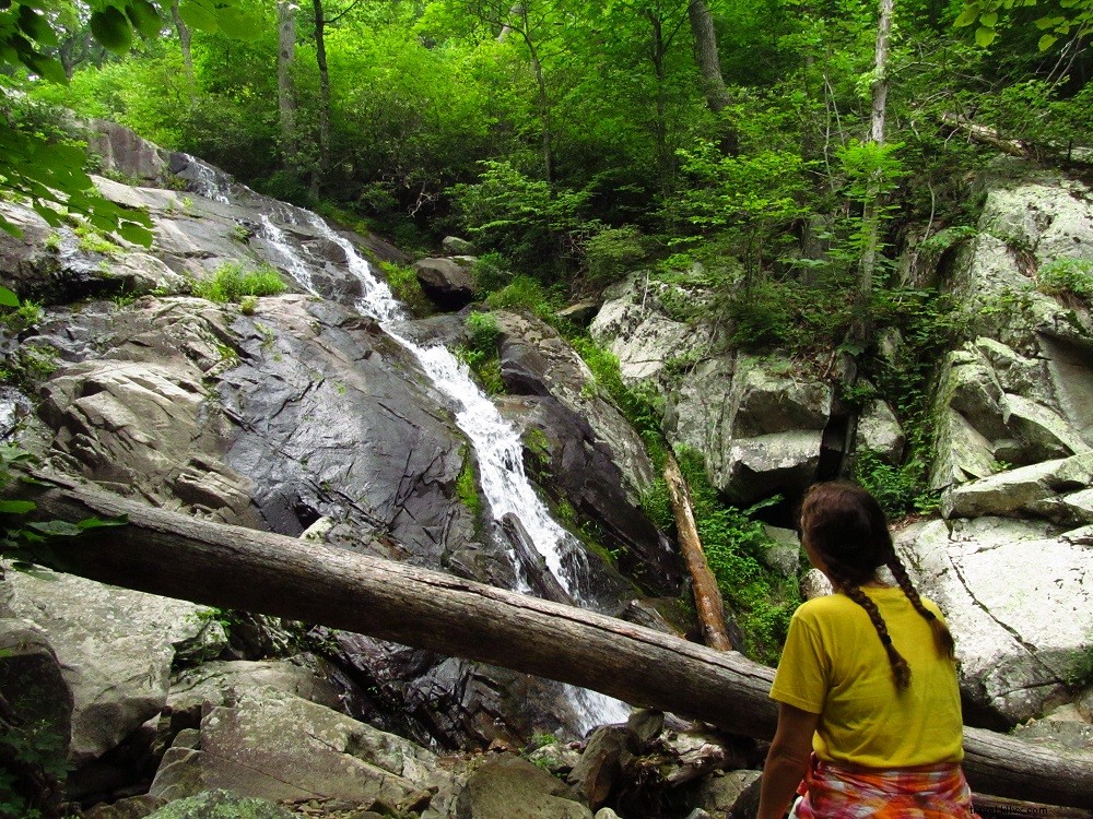
Park at The Slacks Overlook; find trail across Parkway south of overlook. Descend through hickory-oak woods, bridge creek, reach 0.5-mile overlook of Tye River Valley. Follow cliffline, switchback to 0.9-mile spur for 30-foot White Rock Falls in a rock amphitheater. Backtrack.
Otter Creek and Otter Lake Loop
Location: Milepost 63.6
Length: 3.0 miles
From James River Visitor Center, follow Otter Creek Trail upstream past pools, along old rail bed to 1-mile lake loop. Spot birds, beavers; view hilltop homesite. Return via trail.
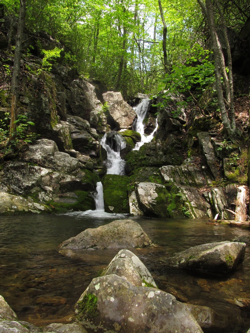
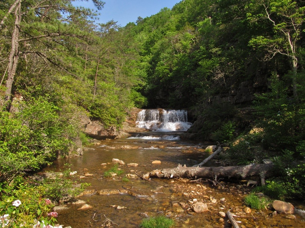
Fallingwater Cascades
Location: Milepost 83.5
Length: 1.5 miles
Loop offers multiple views of 100+ foot Fallingwater Cascades. Descend rugged canyon on Fallingwater Cascades Trail amid boulders and woods; climb out with mountain and valley vistas. Pass auto overlook.
Explore Park

Location: Milepost 115.0
Length: 3.0 miles
From Parkway, follow Roanoke River Parkway 1.5 miles to visitor center, then to parking lot D at Journey’s End. Hike hiker-only trails along Roanoke River rapids, into hills past historic schoolhouse, gristmill, cabin, farmstead. Short walk back.
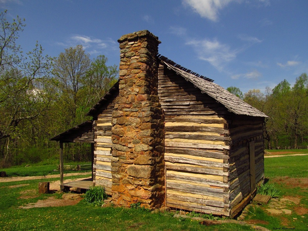
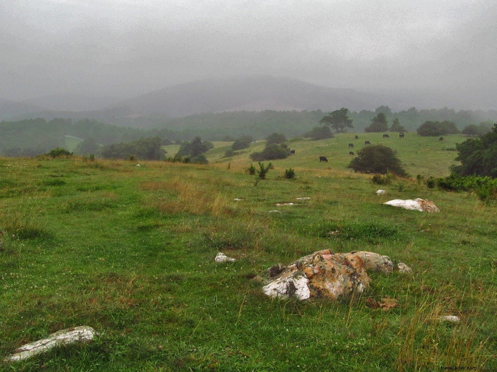
Smart View Loop
Location: Milepost 154.5
Length: 3.0 miles
Moderate loop from Smart View Picnic Area with 200+ feet elevation. Visit preserved 1880s Trail Cabin with stone chimney. Well-marked network through woods to Piedmont "Smart View."
– Parkway Hikes 3 to 6 Miles –
Humpback Rocks Loop
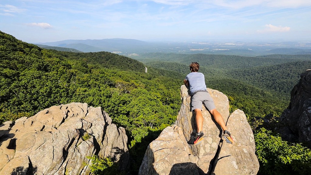
Location: Milepost 6.0
Length: 4.2 miles
From Humpback Gap, ascend old Appalachian Trail to landmark Humpback Rocks for panoramic views of Shenandoah Valley, West Virginia mountains, and Piedmont. Descend via current AT switchbacks and Howardsville Turnpike.
Bluff Mountain
Location: Milepost 51.5
Length: 3.8 miles
On Appalachian Trail to Bluff Mountain, visit haunted Punchbowl shelter and memorial to Ottie Powell. Enjoy Blue Ridge panoramas.
Apple Orchard Falls Loop

Location: Milepost 78.4
Length: 5.1 miles
Start at Sunset Fields Overlook atop Apple Orchard Mountain. Follow AT to 200-foot Apple Orchard Falls cascades; loop via Cornelius Creek Trail back along mountain slope.
Flat Top

Location: Milepost 83.5
Length: 5.6 miles
Switchback up Flat Top Trail 1,500 feet to summit views of Peaks of Otter. Pass Cross Rock; ideal for seasonal vistas. Quality trail construction eases climb.
Johnson Farm via Harkening Hill
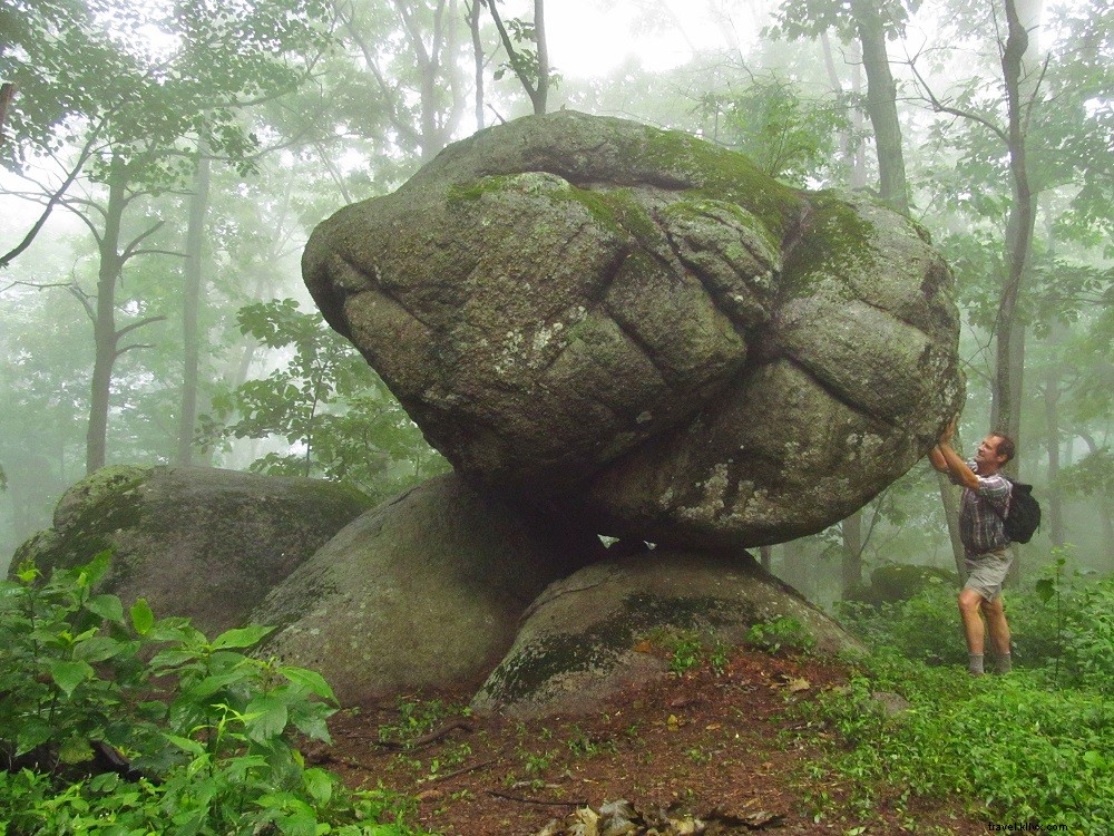
Location: Milepost 85.9
Length: 3.6 miles
From Peaks of Otter Visitor Center, summit Harkening Hill for views and Balance Rock. Continue to 1930s-preserved Johnson Farm (tours in season), fields, and Hotel Mons site. Return.
– Parkway Hikes Longer Than 6 Miles –
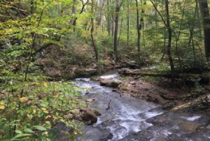
St. Marys Falls
Location: Milepost 23.0
Length: 10 miles
Out-and-back from Mine Bank Trailhead through St. Marys Wilderness. Sliding waterfalls, ore relics, campsites along St. Marys River and Sugartree Branch to St. Marys Falls. Backpacking option.
Rock Castle Gorge Loop
Location: Milepost 169.1
Length: 10.7 miles
Challenging loop with panoramas, history, waterfalls, wildflowers, geology. Circuit via meadows, gorge, steep climbs, pioneer sites to Rocky Knob. Primitive campsite midway (permit required). Long day or overnight.