5 Epic Virginia Road Trips for Outdoor Enthusiasts
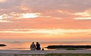
Experience WanderLove—Virginia's unique take on wanderlust, that irresistible urge to explore. As travel picks up again, a road trip offers a safe, immersive way to discover the Commonwealth's stunning diversity, from Atlantic beaches to winding mountain trails.
Virginia's roads reveal a tapestry of landscapes, habitats, and adventures. Crave ocean kayaking along tidal shores, maritime forest camping, or wildlife refuge hikes? Head east. Prefer summiting peaks for panoramic views, whitewater paddling, or rugged mountain biking? The mountains await. Here are five curated road trips for outdoor lovers—pack your gear and hit the road for unforgettable thrills.
Virginia Arrowhead Road Trip
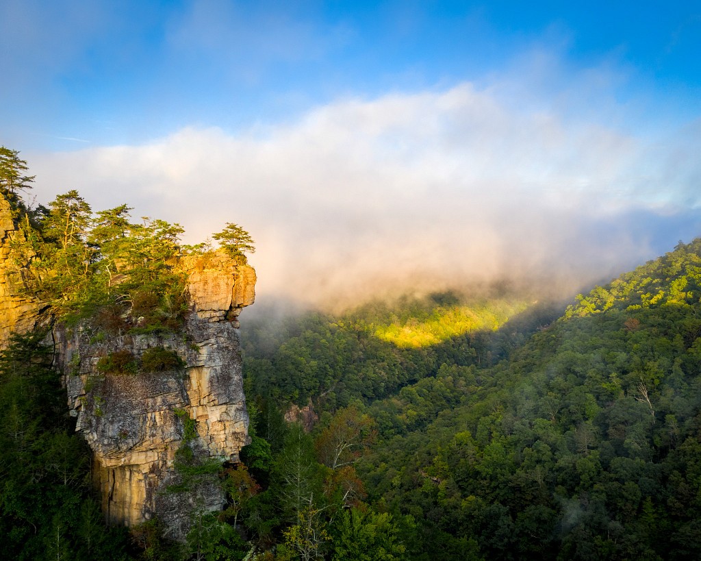
Overview: Far Southwest Virginia's arrowhead region is an outdoor gem, boasting friendly locals and lesser-known treasures. Explore Cumberland Gap National Historical Park, where history meets geology—Skylight Cave, Sand Cave, cliffs, overlooks, and the remote Hensley Settlement. State parks and Jefferson National Forest offer waterfalls, natural tunnels, gorges, and mountain lakes. Paddle flatwater lakes, fish-filled rivers like the Clinch and Powell, or tackle world-class whitewater on the Russell Fork. Abundant tent and RV camping, plus Breaks Interstate Park's "Grand Canyon of the South."
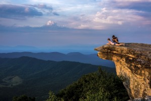
Hiking: Hensley Settlement Hike in Cumberland Gap National Historical Park—a 9.7-mile balloon loop. Ascend Chadwell Gap up Cumberland Mountain to this preserved mountaintop community, home to Sherman Hensley's descendants for 50 isolated years. The strenuous 2,000-foot climb reveals two dozen historic structures, offering a captivating glimpse into the past.
Backpacking: 19-mile Chief Benge Scout Trail in Jefferson National Forest. This mostly downhill trek starts at High Knob Tower's 360-degree views, descends to Stony Creek, passes a lake and campground, then follows Little Stony Creek gorge with waterfalls. Backcountry camping and fishing abound.
Paddling: Russell Fork whitewater—Virginia's toughest, ideal for expert kayakers. The legendary 4-mile Garden Hole to Ratliff Hole section carves through Pine Mountain in Breaks Interstate Park, with 190 feet per mile gradient and Class IV-V rapids like Triple Drop and El Horrendo amid stunning chasms.
Camping: Natural Tunnel State Park yurts—modern tent-cabin hybrids. Conventional campgrounds with utilities and ridgetop cabins also available.
Mountain Biking: Stone Mountain Trails, part of the Spearhead Trails network. This 30-mile system near Pennington Gap challenges with overlooks, caves, river access, ascents, and descents; OHV-friendly.
Virginia Highlands Road Trip
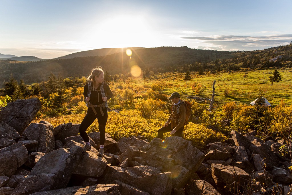
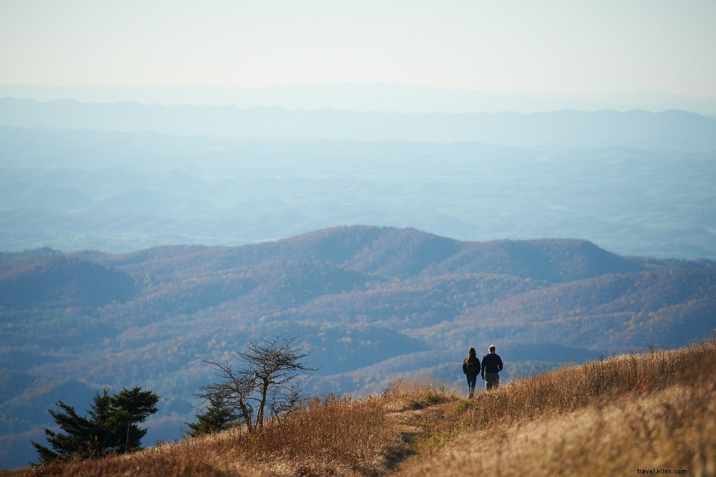
Overview: Home to Mount Rogers—Virginia's rooftop at over 5,700 feet—the Highlands feature 4,000 feet of elevation change. Mount Rogers National Recreation Area offers 436+ miles of trails for hiking, backpacking, biking, and equestrian use, including the famed Virginia Creeper Trail and Appalachian Trail. Add fishing, paddling, and camping. Grayson Highlands State Park and New River Trail State Park enhance the options; Damascus is a premier trail town.
Hiking: Mount Rogers summit—8.8-mile out-and-back to Virginia's 5,729-foot high point via Appalachian Trail from Elk Garden. Enjoy views, spruce-fir forests, rock outcrops, wild ponies, and wild blueberries.
Backpacking: 6-day Appalachian Trail and Iron Mountain Trail loop from Damascus. Traverse meadows, evergreens, ridges; shelters and campsites throughout.
Paddling: Whitetop Laurel Creek—12-mile Class II-III kayaking from Creek Junction to Damascus, paralleled by Virginia Creeper Trail for scouting/shuttles. Navigate boulders, falls, islands; watch trestles.
Camping: Beartree Campground at Mount Rogers—wooded, secluded sites with hot showers near trails and Beartree Lake.
Mountain Biking: 8-mile Rhododendron Gap Loop from Scales. Climb high country, descend rocky sections (possible hike-a-bike), spot wild ponies.
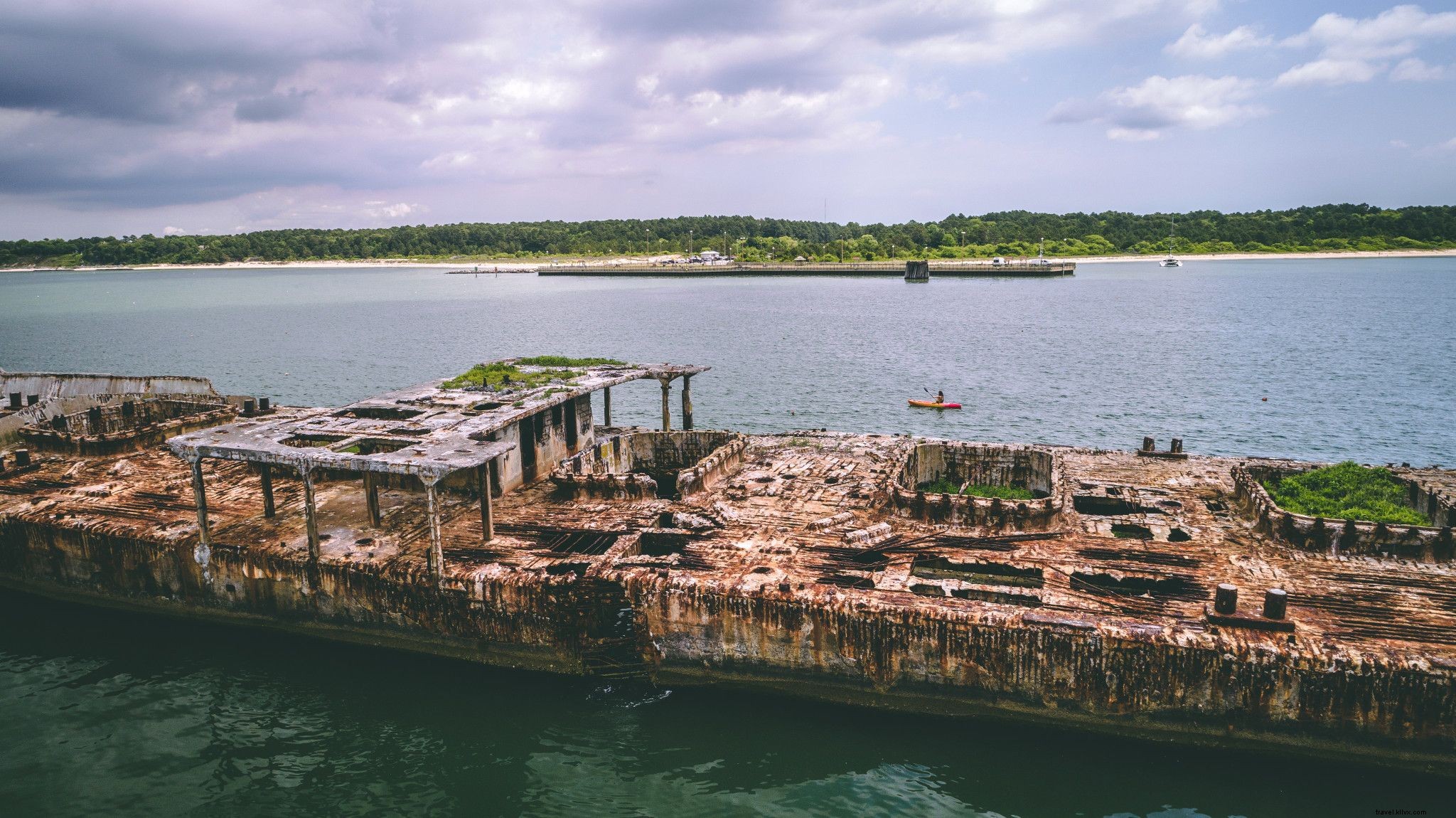
Eastern Shore Road Trip
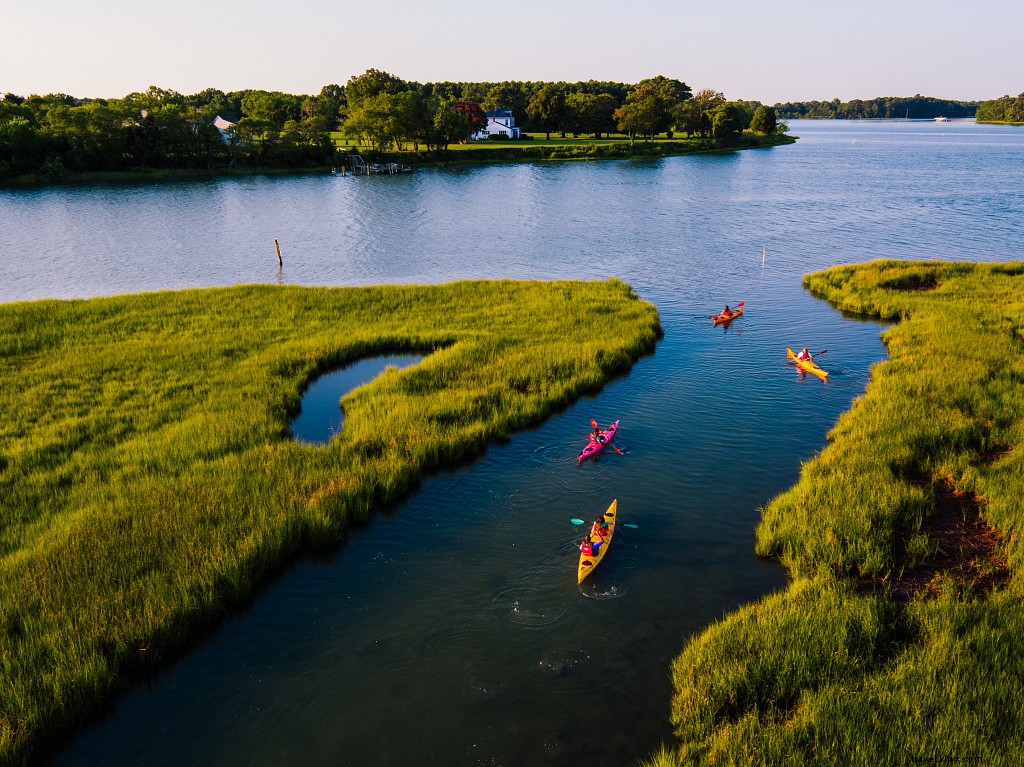
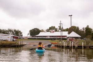
Paddling: Chincoteague to Assateague Island. Paddle Toms Cove, visit historic US Coast Guard Station, beachcomb, and pony-spot on the Atlantic before returning.
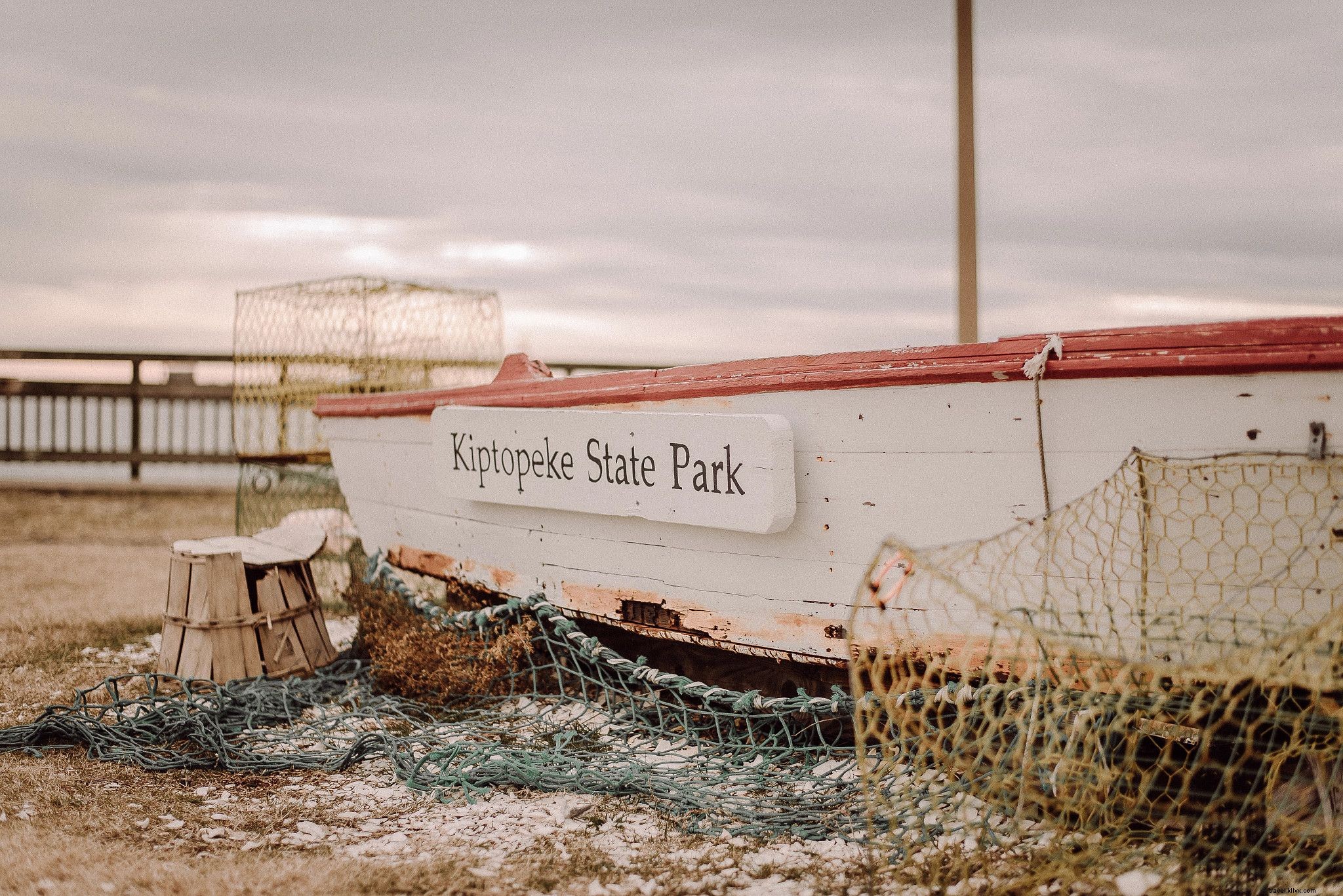
Camping: Kiptopeke State Park—bayfront sites for tents/RVs. Separate areas; RV sites with full hookups, tent sites basic. Bathhouses; book early for summer.
Biking: Southern Tip Hike & Bike Trail (2.6 miles paved) at Eastern Shore National Wildlife Refuge, plus refuge roads. Extend at Chincoteague National Wildlife Refuge.
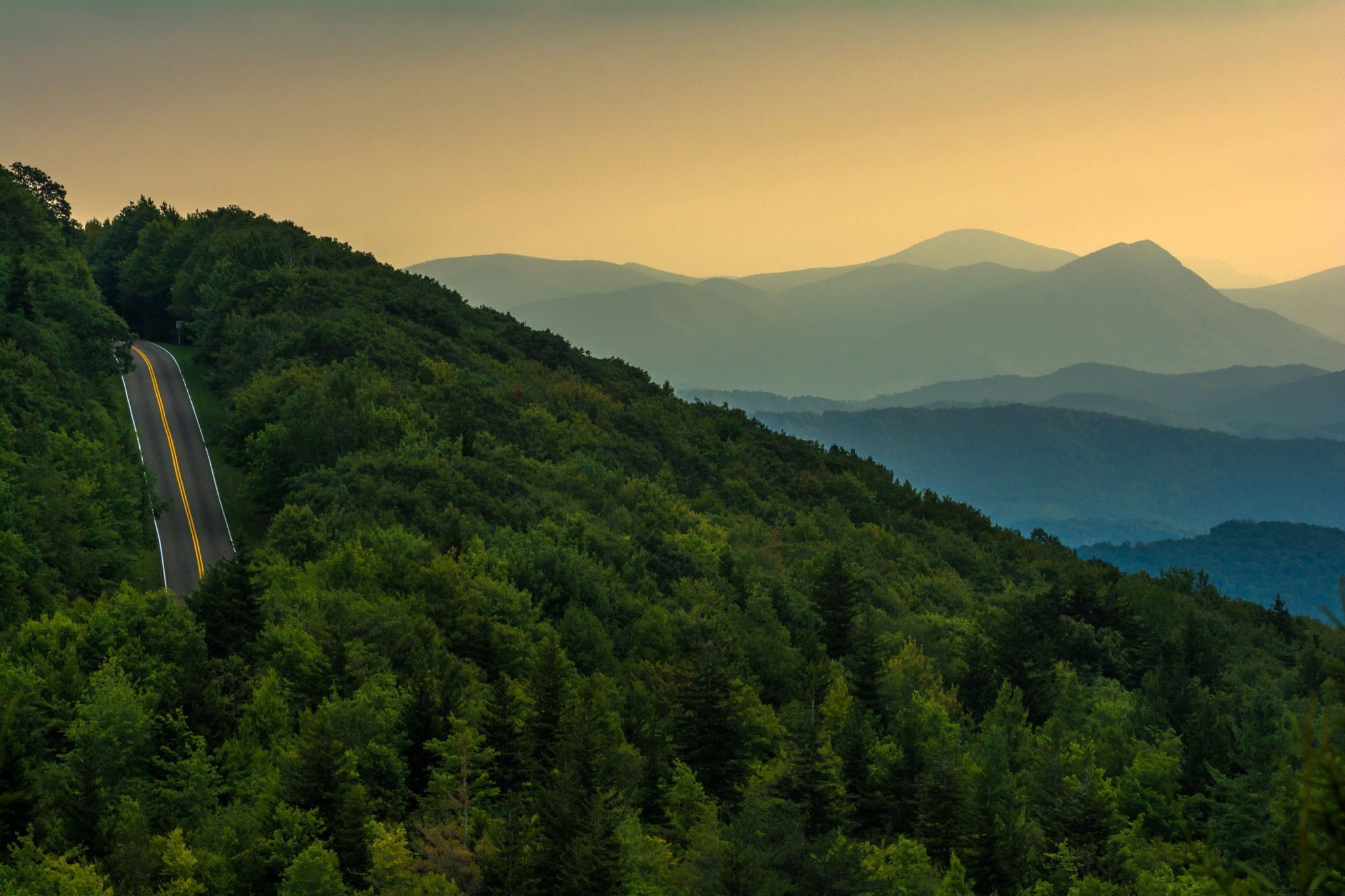
Alleghany Highlands Road Trip
Overview: Western Virginia's remote mountains along the WV line feature hot springs, wild rivers, forests in Jefferson National Forest. Paddle Jackson/Cowpasture Rivers, Douthat Lake, Lake Moomaw (Alleghany Blueway). Hike/bike Douthat State Park; zipline at Omni Homestead Resort; more trails nearby.
Hiking: Roaring Run Falls and Furnace—1.6-mile trail with historic furnace, cascades, gorge. Extend via Hoop Hole National Recreation Trail for more waterfalls.
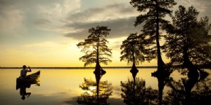
Paddling: 9-mile Lake Moomaw loop from Bolar Flat—mountain-rimmed reservoir with islands, coves, camping.
Camping: Douthat State Park—four campgrounds (Lakeside for tents, others RV-friendly), cabins, lodges.
Mountain Biking: 40+ miles at Douthat State Park/Jefferson Forest—singletrack loops like Middle Mountain; steep but rewarding.
Southside Virginia Road Trip
Overview: Piedmont region south of James River—rolling lakeside terrain with Buggs Island Lake (Lake Kerr), Lake Gaston. Staunton/Occoneechee State Parks for hiking/camping. Southern Virginia Wild Blueway (80+ scenic river miles, Class I-II). Fairy Stone, Staunton River Battlefield parks; greenways, MTB trails.
Hiking: Occoneechee Plantation at Occoneechee State Park—combine trails for 1800s plantation ruins; 17 miles total in park.
Paddling: Staunton River Long Island to Brookneal—11-mile Class I family float through islands, rural scenery.
Camping: North Bend Park (Corps of Engineers)—large shaded sites near lake dam, ramps, beaches, showers.
Mountain Biking: Anglers Ridge (35 miles near Danville)—hilly singletrack for all levels along Dan River.
For paved paths, try 9-mile Danville Riverwalk along Dan River, linking history and Anglers Ridge.