Uncover Virginia's Hidden Outdoor Gems: Lesser-Known Trails, Waterfalls, and Adventures
Virginia is renowned for iconic outdoor destinations like the Appalachian Trail, Great Falls of the Potomac, and the James River. Yet, the commonwealth harbors many lesser-known natural treasures that offer equally breathtaking experiences with fewer crowds.
Explore these under-the-radar spots and find your perfect Virginia outdoor escape.
White Rocks Overlook
Nearest Town: Ewing
Best Times to Visit: Clear skies for optimal views
What You Need to Know: South-facing trail can be hot in summer
GPS Coordinates: 36.65213, -83.43555
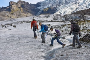
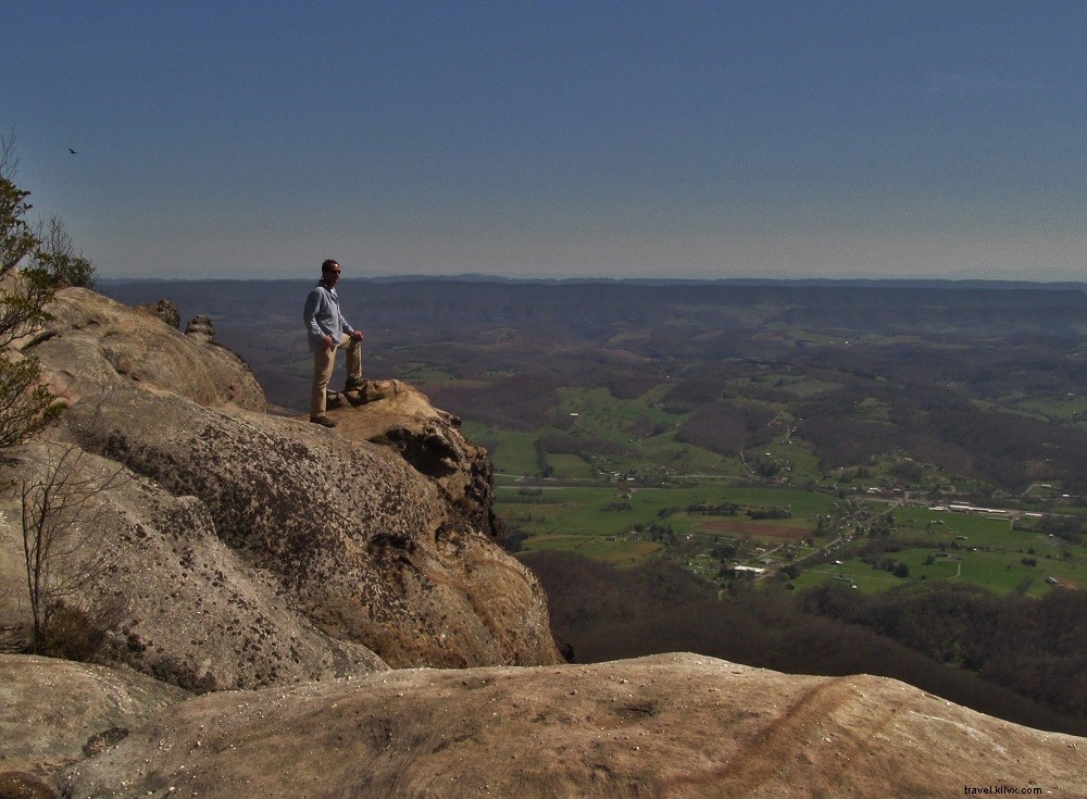
The 3-mile hike to this stunning outcrop in Cumberland Gap National Historical Park rewards with expansive vistas of Southwest Virginia, Kentucky, and Tennessee. Access via the Ewing Trail from Civic Park in Ewing, switchbacking up Cumberland Mountain to the Virginia-Kentucky line. At the crest, reach a broad stone pinnacle overlooking the Powell River, Kentucky hills, and distant Great Smoky Mountains. Consider a 0.5-mile detour to Sand Cave on the Kentucky side, featuring a massive sand-filled overhang and waterfall.
Crows Nest Natural Area Preserve
Nearest Town: Stafford
Best Times to Visit: Summer for ideal paddling
What You Need to Know: Access points expanding
GPS Trailhead Coordinates: 38.37111, -77.33236
This emerging 3,000-acre preserve in the Potomac River watershed protects vital tidal freshwater marshes amid steep hills. Perfect for paddling and hiking near metro D.C., it offers 12 miles of trails and growing access. Launch from the all-abilities platform at Boykins Landing for the 4-mile Crows Nest Water Trail to Potomac Creek, or hike along Accokeek Creek with wetland views.
Chief Benge Scout Trail
Nearest Town: Dungannon
Best Times to Visit: Late spring for wildflowers, summer for swimming and camping
What You Need to Know: Multiple creek crossings
GPS Coordinates: West Trailhead 36.89566, -82.62903; East Trailhead 36.86139, -82.44631
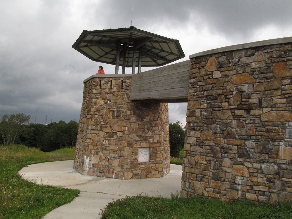
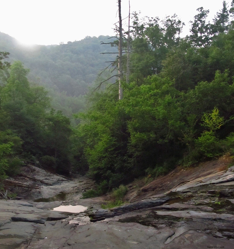
This 19-mile trail in Jefferson National Forest suits backpackers and day hikers with multiple access points. Begin at High Knob Tower for 360-degree views across five states, descend to Stony Creek's fern-filled valley, pass Bark Camp Lake, and end at the Falls of Little Stony in a dramatic gorge near Hanging Rock Recreation Area.
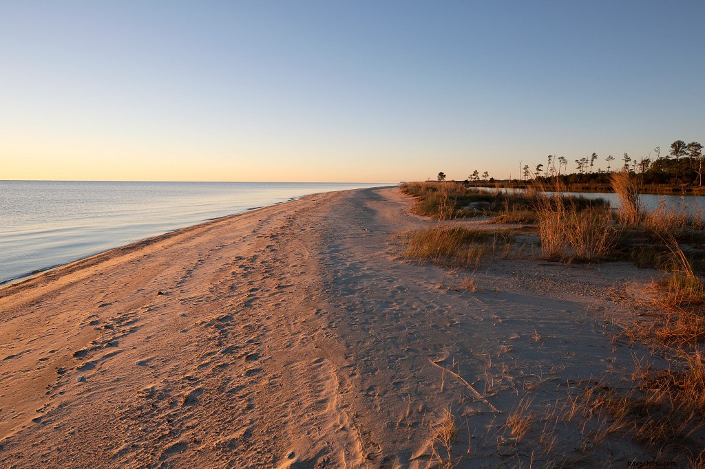
Savage Neck Dunes Natural Area Preserve
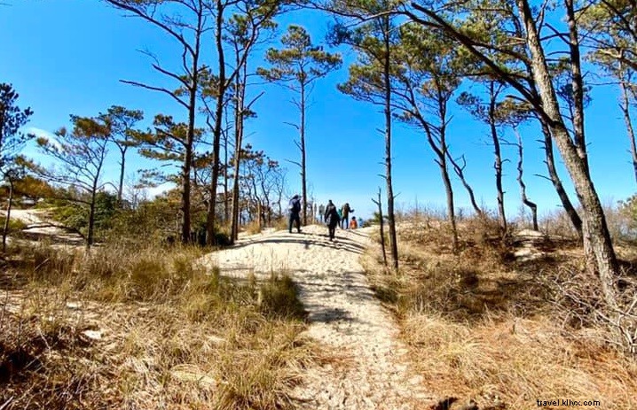
Photo credit: Suzanne Moss IG: @thenaturebus
Nearest Town: Cape Charles
Best Times to Visit: Fall for birding
What You Need to Know: Limited parking; bring insect repellent in warm months
GPS Coordinates: 37.32751, -76.00413
Nearly 300 acres feature 50-foot Chesapeake Bay dunes—rare for Virginia's bayfront—with a mile of pristine shoreline. Inland, trails wind through pines, oaks, and towering loblollies. Follow the 0.75-mile path to the beach; birders flock here for warblers. Pair with the Eastern Shore Birding Festival and visit Custis Pond for wildlife.
Powell River Canoeing & Kayaking
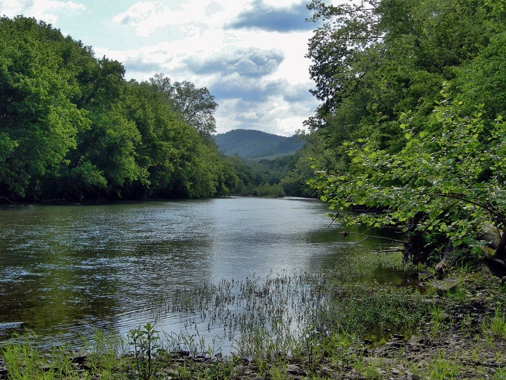
Nearest Town: Big Stone Gap
Best Times to Visit: Early to late spring for water levels
What You Need to Know: Ideal flow: 250-800 cfs at Big Stone Gap gauge
GPS Coordinates: Put-in: 36.86801, -82.7815; Takeout: 36.78038, -82.92447
This 12-mile Class I-II stretch suits recreational paddlers, winding under Stone Mountain and Wallen Ridge through woods, fields, and bluffs. Launch at Bullitt Park; target smallmouth bass. Exit at Dryden's US 58 bridge ramp.
Locust Springs Trail Network and Picnic Area
Nearest Town: Monterey
Best Times to Visit: Mid-spring to early winter
What You Need to Know: Lower Laurel Fork has scenic swimming holes
GPS Coordinates: 38.58505, -79.64064
In Highland County's George Washington National Forest, this high-elevation picnic spot launches a 28-mile network through Laurel Fork's watershed. Old rail grades form loops amid meadows, beaver ponds, spruce forests, and streams. Well-signed but meadow navigation challenging; driest in fall.
Comers Rock Recreation Area
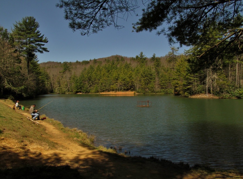
Nearest Town: Speedwell
Best Times to Visit: Mid-April to October
What You Need to Know: 6 first-come sites; arrive early on weekends
GPS Coordinates: 36.76221, -81.22235
At 3,400 feet on Iron Mountain in Jefferson National Forest, enjoy camping, picnicking, and trails. Hike Comers Rock Trail (0.5 mile) for 360-degree views, Unaka Trail for history, or Iron Mountain to Hale Lake for trout fishing. Nearby: Little Dry Run Wilderness.
Chestnut Creek Falls
Nearest Town: Galax
Best Times to Visit: Year-round
What You Need to Know: Bike-accessible
GPS Trailhead Coordinates: 36.69479, -80.91634
From Cliffview on the 57-mile New River Trail State Park, hike or bike 3.6 miles along Chestnut Creek to this 10-foot cascade. Rent bikes in Galax; full round-trip from Galax: 10.8 miles. Extend via the trail's many attractions.
Falls Ridge Preserve
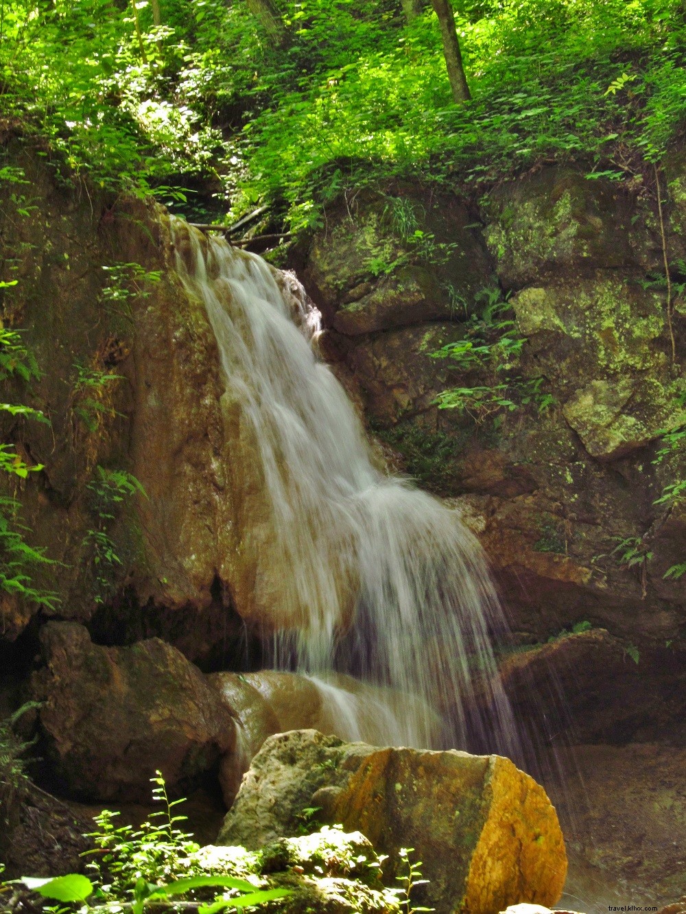
Nearest Town: Blacksburg
Best Times to Visit: After rains
What You Need to Know: Protect fragile rock formations; no dogs
GPS Trailhead Coordinates: 37.11590, -80.19293
The Nature Conservancy site showcases rare waterfalls over massive calcium carbonate formations and caves. Explore a historic lime kiln; add 3+ mile Mill Knob loop.
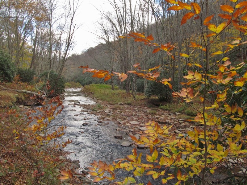
Locust Knob Loop
Nearest Town: Pearisburg
Best Times to Visit: Spring to early winter
What You Need to Know: Main trail marked but faint; full loop challenging
GPS Trailhead Coordinates: 37.4262, -80.55542
This 8.7-mile loop in Jefferson National Forest climbs North Fork Stony Creek and Dixon Branch into Mountain Lake Wilderness, offering rhododendrons, waterfalls, pools, and Hatfield Meadows vistas. Rugged terrain with wilderness feel; visit nearby Glen Alton historic farm.
Big Branch Falls
Nearest Town: Charlottesville
Best Times to Visit: Winter to spring
What You Need to Know: Flow diminishes late summer; uphill return
GPS Trailhead Coordinates: 38.20678, -78.74942
Shenandoah National Park's most overlooked waterfall: 3.8 miles via Moormans River Fire Road to a 30-foot multi-tiered drop with plunge pools amid rock slabs.
Meems Bottom Covered Bridge
 Photo credit: Jonathan Kozowyk
Nearest Town: Mount Jackson
Best Times to Visit: Autumn for foliage
What You Need to Know: Open to traffic; Virginia's longest at 204 feet
GPS Coordinates: 38.72083, -78.65517
Rebuilt after 1976 arson, this 1890s icon spans the North Fork Shenandoah River. Picnic riverside, skip stones, or read the history plaque near I-81.
Hughlett Point Natural Area Preserve
Nearest Town: Burgess
Best Times to Visit: Winter for seascapes
What You Need to Know: Popular with photographers
GPS Coordinates: 37.74171, -76.31758
On the Northern Neck peninsula, sandy spits, sea oats, beaches, and forests meet Chesapeake Bay. Winter Water Trail and Bay Shore Trail lead to platforms; protects rare tiger beetles.