Puerto Rico's Top 7 Hiking Trails: Stunning Adventures in Rainforests and Beyond
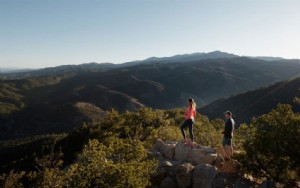
Puerto Rico's hiking trails offer breathtaking diversity, from lush rainforests to dramatic coastlines. While well-maintained paths and detailed maps can be limited, experienced hikers who embrace adventure are rewarded with unforgettable scenery and serenity.
El Yunque Trail – El Yunque National Forest
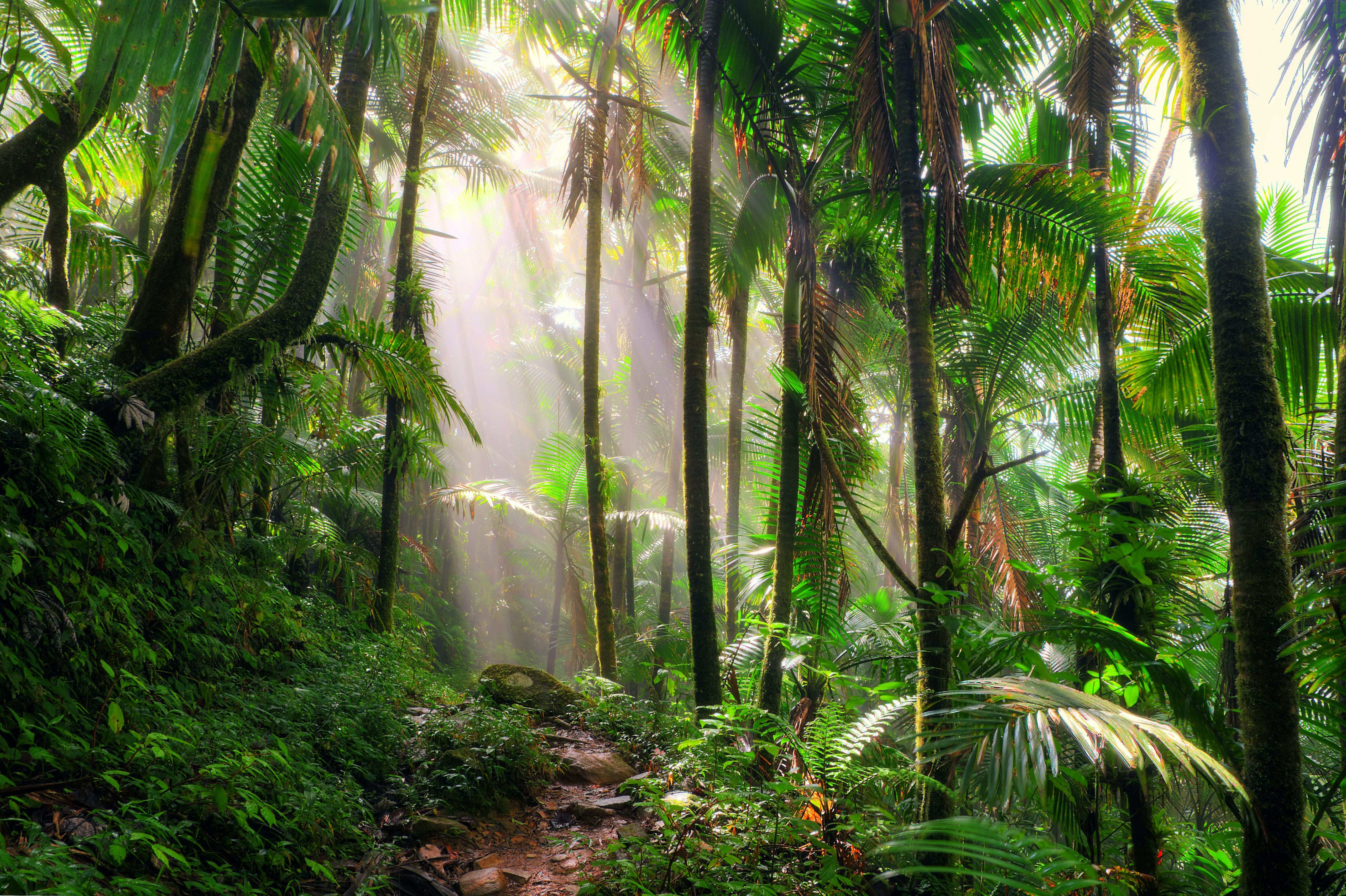
On clear days, conquer a 1,500-foot elevation gain over 2.4 miles (about 1.5 hours) to El Yunque's 3,496-foot summit, rewarded with panoramic views of Vieques and Culebra. Start opposite the Palo Colorado Information Center (temporarily closed), passing mountain palms, waterfalls, and into the dwarf tree cloud forest to an observation deck near communication towers.
For extra thrill, scramble 0.17 miles along Los Picachos Trail to an old tower, mimicking a tropical Everest ascent. Descend via a service road to Mt Britton Trail, then a dirt track to Route 191.
Mt Britton Trail – El Yunque National Forest
Ideal for time-pressed hikers seeking a true summit, this 0.8-mile (45-minute) paved trail winds through sierra palm forest into the cloud forest to Mt Britton Tower. Clear days reveal sweeping views of the Atlantic and Caribbean.
Access from Hwy 191 at Km 13 (veer 0.3 miles). Adventurous hikers can link to El Yunque Trail via the 0.86-mile Mt Britton Spur. Built in the 1930s by the Civilian Conservation Corps, it's named for botanist Nathaniel Britton, who cataloged local flora in the 1920s.
Vereda Meseta – Guánica State Forest
This scenic 4-mile round-trip hugs Guánica State Forest's coast, accessible by following Hwy 333 to Bahía de la Ballena. Popular with hikers and cyclists, it borders stunning Playa Tamarindo beach.
Vereda La Torre – Toro Negro State Forest
From the ranger station, hike Camino El Bolo trail for about 3 miles, then tackle this steep ascent to an observation tower with exceptional vistas. Return via Vereda La Piscina to Area Recreativa Doña Juana, a short walk from Hwy 143.
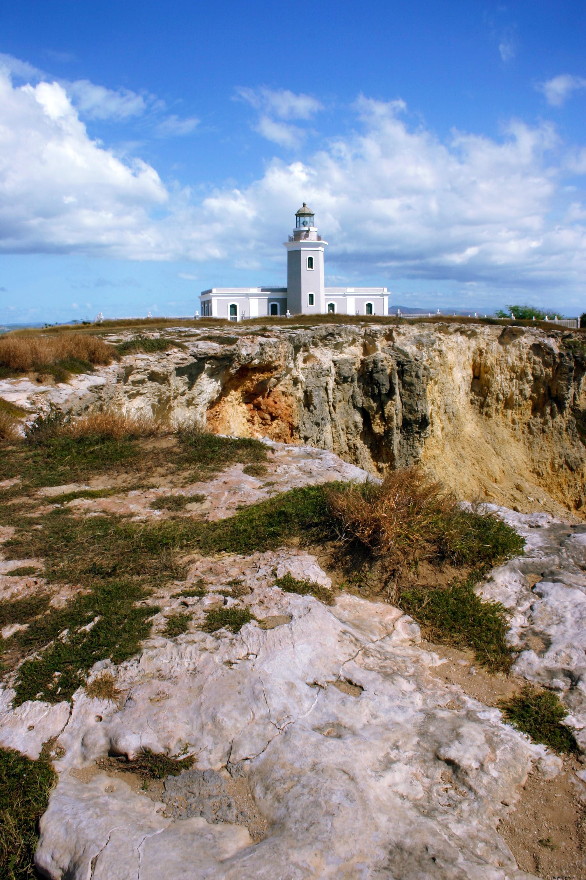
Los Morrillos Lighthouse – Cabo Rojo
At Puerto Rico's southernmost point via rugged Hwy 301, this restored lighthouse atop Punta Jagüey offers dramatic cliffs and turquoise waters at Playa Santa. An observation deck gazes over the Caribbean. Volunteers may share history of the nearby Cabo Rojo National Wildlife Refuge salt flats. Park and walk 10 minutes on gravel to the site.
Charco Azul Trail – Carite State Forest
Post-Hurricane Maria, this popular trail remains open despite limited maintenance—bathrooms and camping are unavailable. A easy 0.5-mile walk from Hwy 184 leads to a 15-foot-deep blue swimming hole with rocky bottom. Busier in summer, quieter in winter. A rough extension climbs to Cerro La Santa (2,730 feet), Carite's highest peak.
Trail Number One – Guajataca State Forest
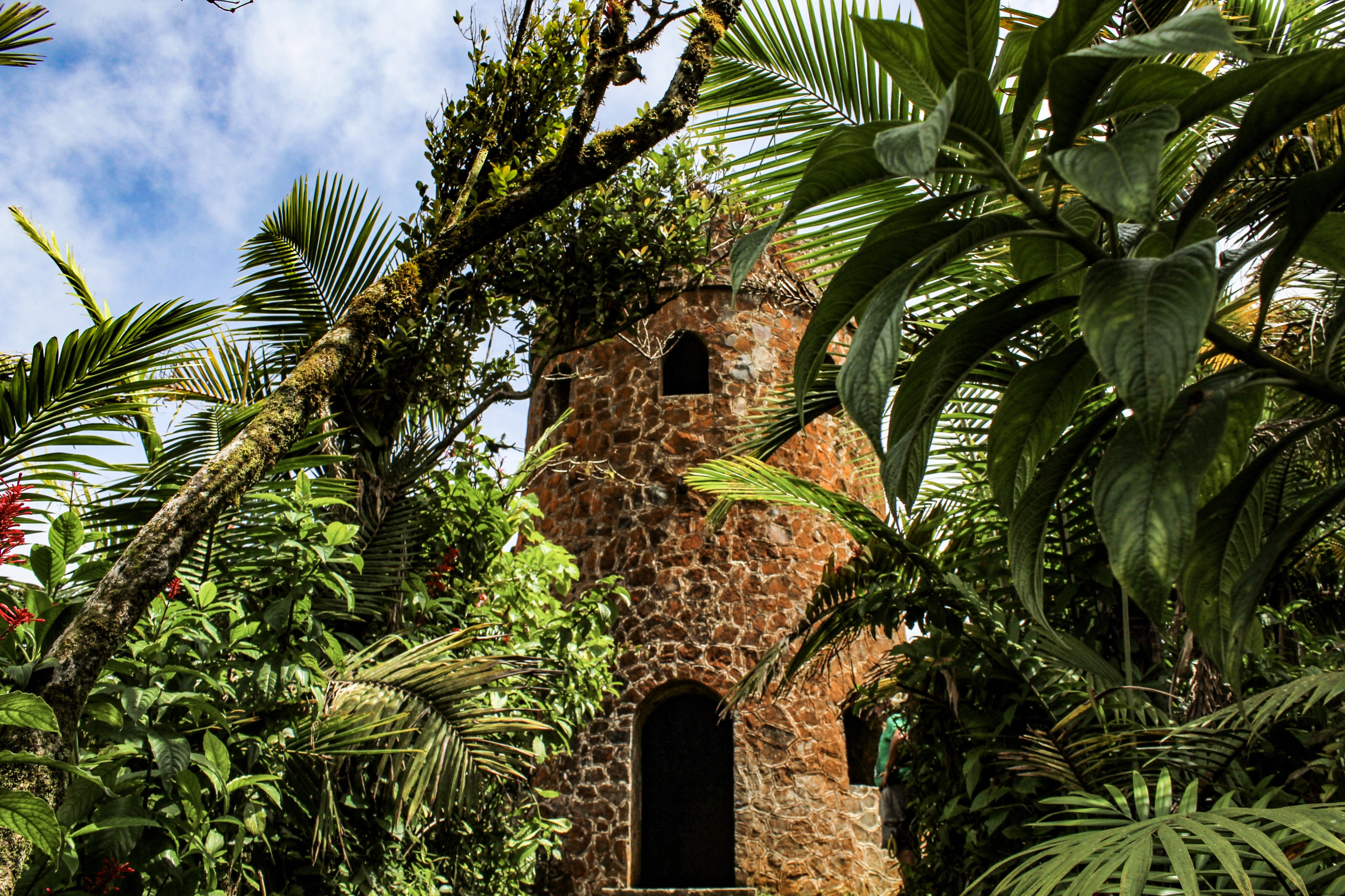
This trail branches from the Interpretive Trail near the ranger station, leading to Cueva del Viento (temporarily closed)—a must for cave enthusiasts when reopened.
You might also like:
How sustainable tourism is thriving in Puerto Rico
Day trips from San Juan
Puerto Rico's 10 best beaches
Get more travel inspiration, tips and exclusive offers sent straight to your inbox with our weekly newsletter. Make sure you're ready for anything with travel insurance from our trusted partners.