Ultimate Pacific Coast Highway Road Trip: Itinerary from LA to SF + Essential PCH Tips
With over a month in California and travel plans between Los Angeles and San Francisco, driving the Pacific Coast Highway (PCH) was a must for an authentic California road trip experience. This iconic route tops bucket lists for road trippers worldwide, and even those who dislike long drives can't resist its jaw-dropping coastal vistas.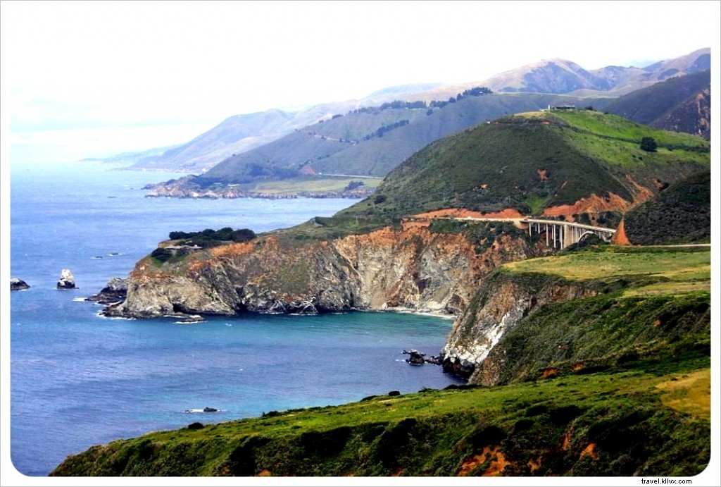 From our departure in L.A., it was evident why National Geographic ranks the PCH among the world's "drives of a lifetime."
Our Pacific Coast Highway Road Trip Itinerary
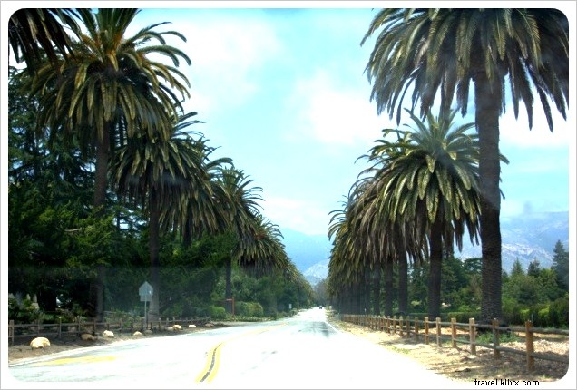
Highway 1 delivers breathtaking scenery: Malibu's beaches, Pacific Ocean vistas, historic Santa Barbara (a former Mexican mission town), Big Sur's mountains and redwoods, the 17-Mile Drive around Monterey Peninsula, Half Moon Bay, and finally San Francisco. Heading north beyond SF, it crosses the Golden Gate Bridge into wine country.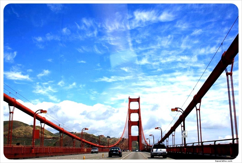
Driving the Pacific Coast Highway
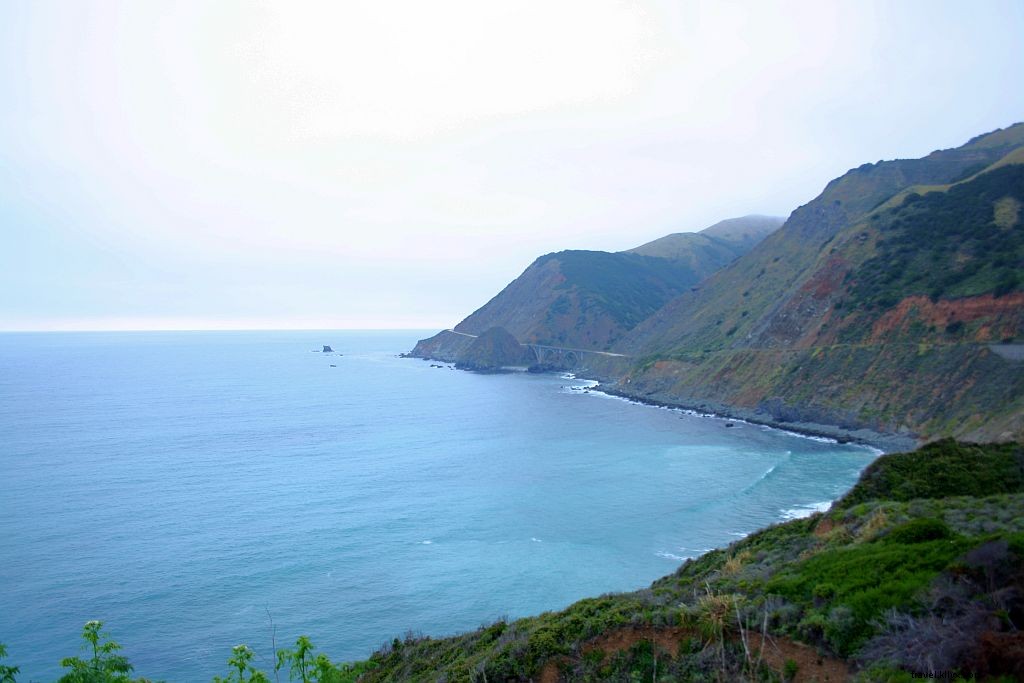
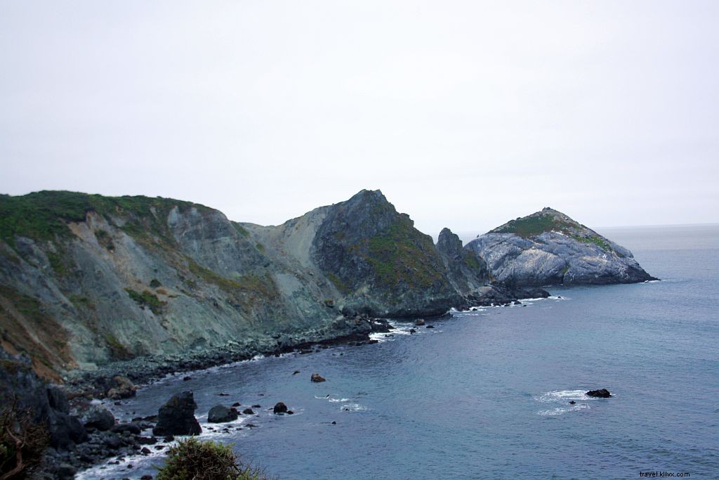
The 436-mile (701 km) stretch along the Pacific shines brightest in Big Sur, dubbed 'Big South Country' by early Spanish settlers. Spanning 90 miles (145 km) from Carmel to San Simeon, this segment is a National Scenic Byway and California Scenic Highway, famed for its hairpin turns and dramatic bridges.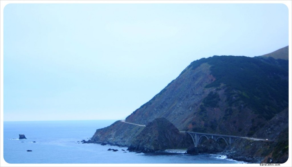 Towering redwoods meet the Santa Lucia Mountains plunging into the sea, where waves pound rugged rocks.
After navigating sheer cliffs from 600 to 5,750 feet (182 to 1,753 m), you'll reach Big Sur village—home to independent campgrounds, lodges, hotels, galleries, cafes, and mini-marts (no chains here).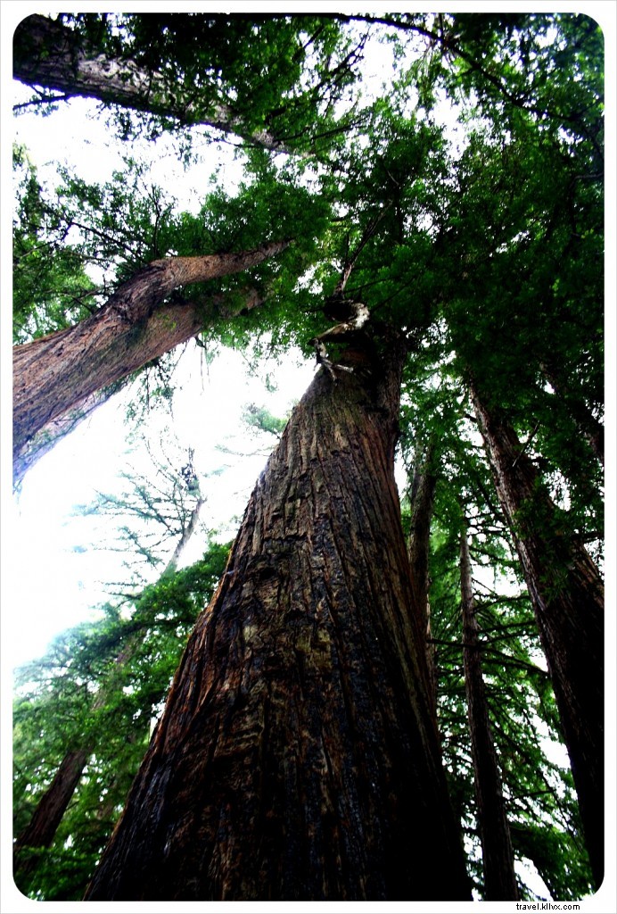 Accommodations are premium-priced, but we opted for a day hike in one of nine state parks and stayed at Big Sur Campground right off the highway.
Preparing for tougher treks in South America (like the Inca Trail), we chose camping. Ultimately, we picked a tent cabin: wooden base, queen bed, and tent-flap ceiling.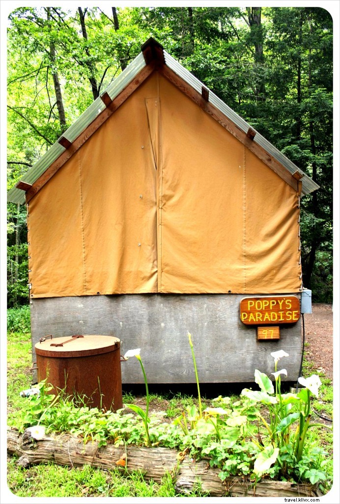 May nights up north are chilly; gaps let in cold air and insects, blending camping discomfort with hotel-like features.
Yet the scenery compensates—our porch overlooked a serene river amid skyscraper-tall trees. Who needs heat?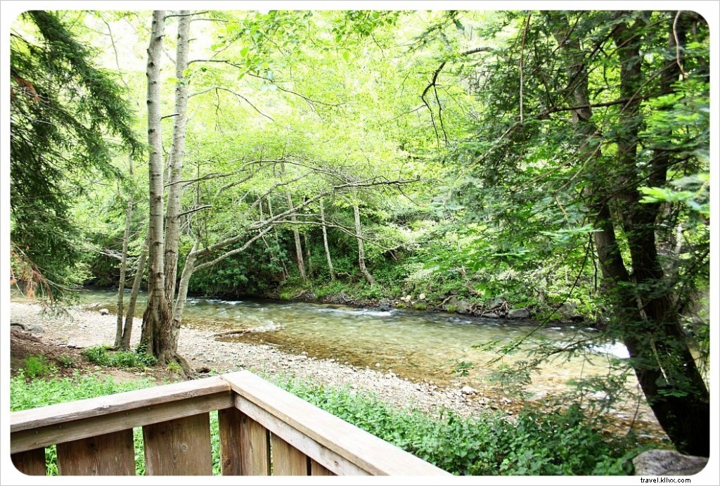 Post-breakfast, we hiked Pfeiffer State Park (from 237 miles of trails and 55 trail camps in Big Sur). Some paths remained closed from the 2008 wildfire, including the 4-mile Oak Wood Trail and upper Pfeiffer Falls view.
 On Mount Manuel Trail, wild turkeys appeared—safe, as vegetarians, far from Thanksgiving.
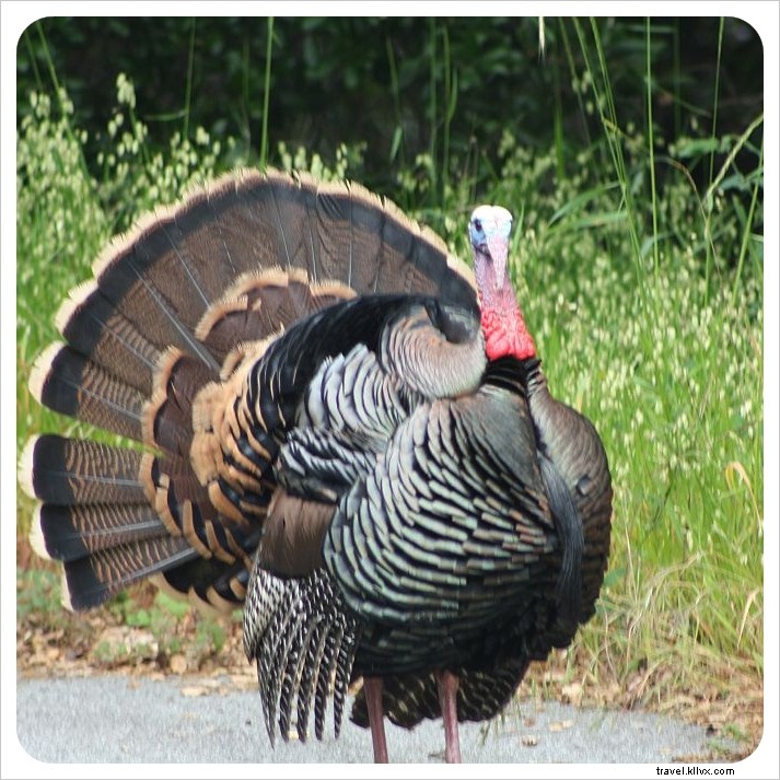 Valley View Trail climbed steeply but offered epic valley panoramas. Descending via Pfeiffer Falls trail through redwoods revealed lush clover-covered mountainsides and hand-feeding bluebirds by the falls.
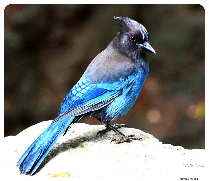
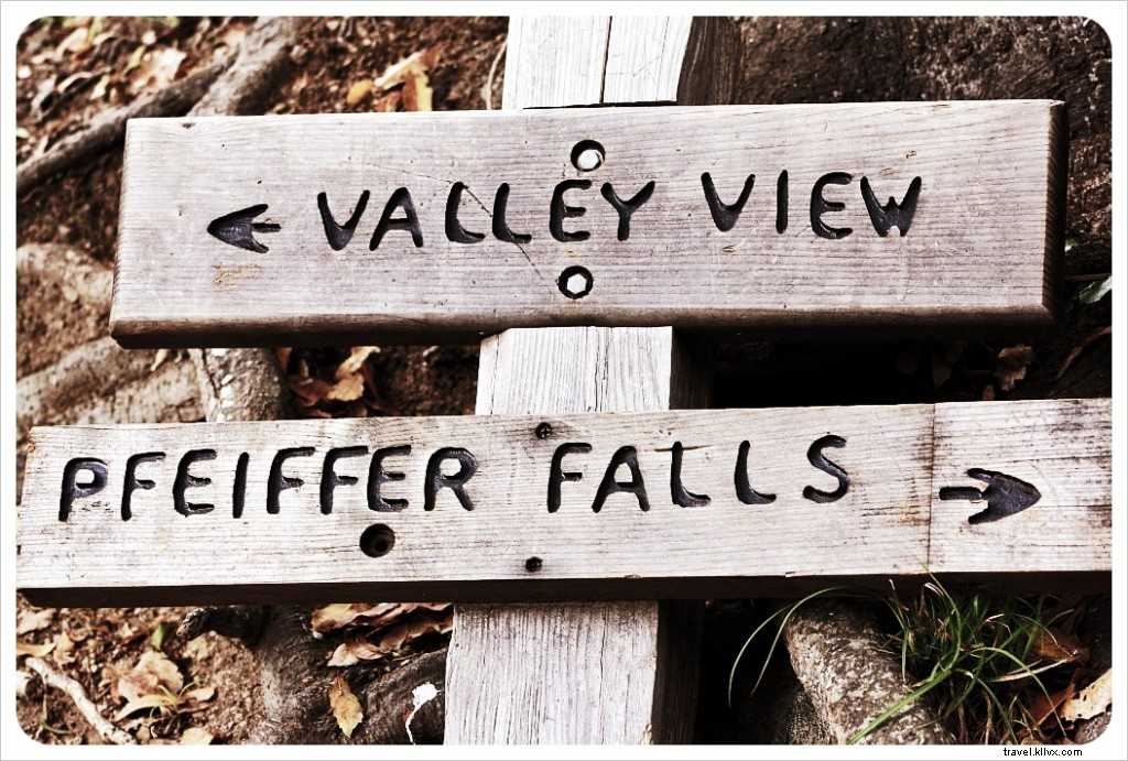
Essential Tips for Your Pacific Coast Highway Road Trip
Car Rentals: Shop Smart
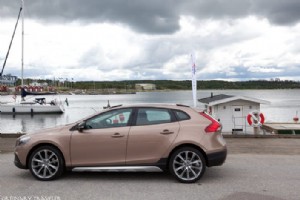
Compare rates on OTAs like Expedia, Priceline, or Autoslash—request quotes and choose wisely. Airport rentals at LAX or SFO often offer deals. For one-way trips (e.g., LA to SF), drop-off fees add up; consider returning via faster I-5 (about 6 hours back to LA).
Book Hotels Early
This popular route books up May-October. Last-minute planning cost us overpriced or subpar stays. Use Booking.com for deals—our go-to since 2010.
For luxury, see Architectural Digest's 17 Beautiful Pacific Coast Highway–Centric Hotels.
Thrillist lists the 10 best hotels along the PCH.
Find Cheapest Gas
PCH stations charge more than in LA/SF or interstates due to tourism and logistics. Fill up pre-trip and use GasBuddy for nearby prices. Waze adds traffic, accidents, and speeds. Check credit card perks for gas cashback via app.
Heading South?
Explore our top five PCH spots from Malibu to Laguna Beach!