10 Challenging Hiking Trails in Greater Palm Springs to Boost Your Fitness
Transform your New Year's fitness resolution into action with the expansive trail network in Greater Palm Springs. These demanding hikes are ideal for winter training toward summer peaks or enjoying stunning scenery while building endurance and strength.
Bear Creek Canyon Trail (La Quinta)
Stats: 8.3 miles out and back, ~2,300 feet of gain
Notes: Free parking at the trailhead lot, no dogs
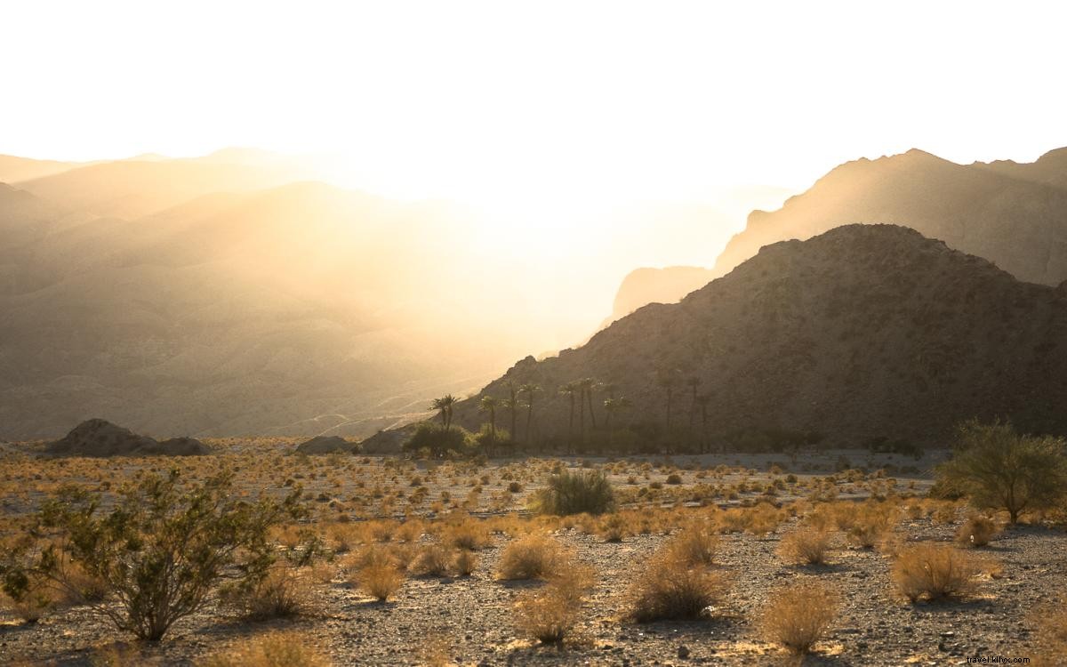
The trail starts with a gentle, flat sandy wash for the first 30 minutes, then delivers a steep ascent around the two-mile mark through Santa Rosa and San Jacinto Mountains National Monument. The rewarding oasis views make it an ideal picnic spot. Start early on weekdays for solitude.
Bump and Grind Trail (Palm Desert)
Stats: 3.9 mile loop, ~1,100 feet of gain
Notes: Free street parking available, no dogs
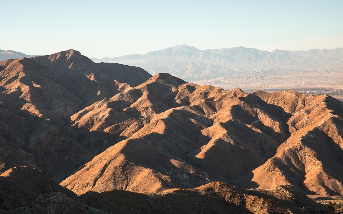
This steady climb over just under two miles offers panoramic views of Greater Palm Springs foothills, especially striking in late afternoon light. The wide, well-maintained trail culminates in a flat summit perfect for sunset drinks.
Palm Canyon Trail to Stone Pools (Palm Springs)

Stats: 6 miles out and back, ~1,000 feet of gain
Notes: $9 entrance fee at Indian Canyons, no dogs
Indian Canyons offers diverse hikes from easy walks to steep ascents. This moderate route to the Stone Pools blends distance, elevation, and desert wonders. Even if pools are dry, the oasis trek is unforgettable.
Museum Trail (Palm Springs)
Stats: 2 miles out and back, ~850 feet of gain
Notes: Free street parking available, no dogs
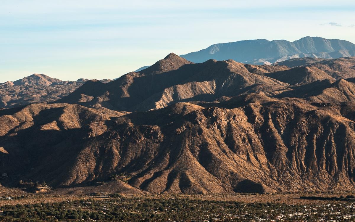
Perfect for time-constrained hikers seeking maximum workout intensity. Climb nearly 900 feet in 0.8 miles along the Skyline Trail to picnic tables with sweeping Greater Palm Springs views. Extend via connections to San Jacinto Peak or North Lykken Trail.
Murray Hill Trail (Palm Springs)
Stats: 8 mile loop, ~2,400 feet of gain (or 7 miles out and back, ~2,000 feet of gain)
Notes: Free street parking, no dogs
Both routes deliver intense workouts (Clara Burgess is easier). Escape the city quickly into lush foothills teeming with desert flora—a standout favorite in Greater Palm Springs.
Ryan Mountain (Joshua Tree National Park)
Stats: 3 miles out and back, ~1,050 feet of gain
Notes: Entry fee or annual pass for Joshua Tree National Park, no dogs
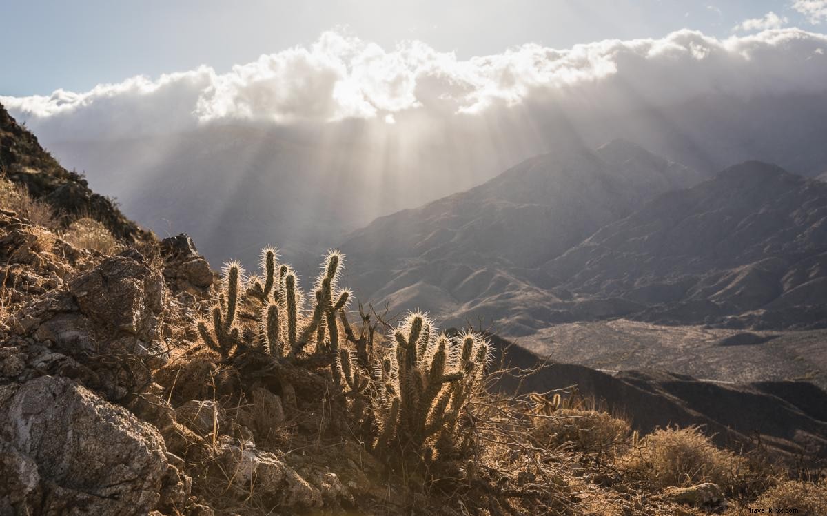
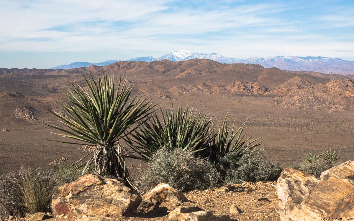
A well-maintained path with gradual elevation leads to a 5,457-foot panoramic summit. Towering rock formations below and diverse desert flora, from prickly pear to Joshua trees, captivate hikers.
South Lykken Trail (Palm Springs)
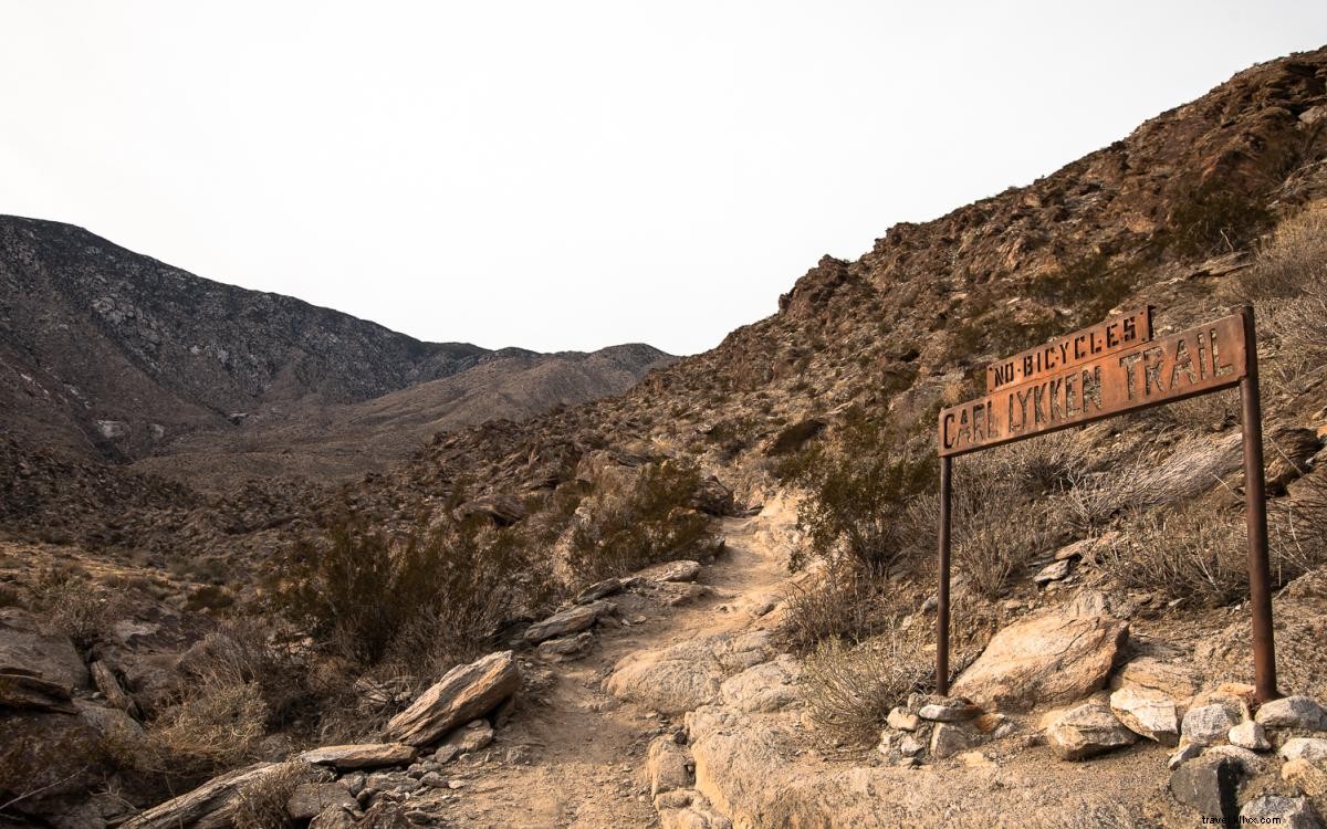
Stats: 7.3 miles out and back, ~2,250 feet of gain
Notes: Free street parking available
This route crosses the high point twice, doubling elevation over seven miles. Less crowded due to the profile, it's excellent for calorie burn and one of few dog-friendly options near town.
Devil's Slide Trail to Saddle Junction (Idyllwild)
Stats: 6.9 miles out and back, ~1,840 feet of gain
Notes: National Forest Adventure Pass required (details at the U.S. Forest Service website). Dogs allowed.
Just under an hour from Greater Palm Springs, Idyllwild offers pine forests, dining, and cabins. Snow enhances winter magic; multiple routes available like those across Highway 74.
Art Smith Trail (Palm Desert)
Stats: 10 miles out and back, ~2,000 feet of gain
Notes: Free lot/street parking, no dogs
Well-maintained with gradual gain, urban noise fades after one mile. Palm oases and surreal rock formations emerge by mile three. Most turn back after summiting at 2,500 feet around mile five.
Aerial Tramway to San Jacinto Peak (Palm Springs)
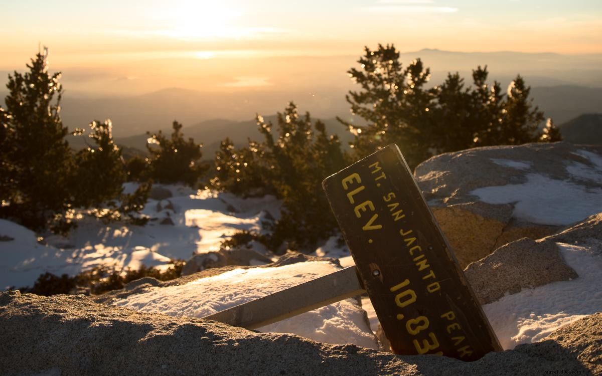
Stats: 10.5 miles out and back, ~2,600 feet of gain
Notes: $8 parking, $25 tram ticket, free self-issued wilderness permit at Long Valley Ranger Station. No dogs.
Shortest route to 10,834-foot San Jacinto Peak starts at 8,500 feet via Palm Springs Aerial Tramway. Well-maintained and winter-accessible; microspikes and poles suffice post-snow.
Author's note: Rated moderate, these trails demand preparation. Desert elevation brings heat, cold, or blizzards. Carry ample water, inform others of your plans, and consider a satellite communicator like Garmin inReach for safety.